Category Archives: Uncategorized

Abnormal Standard

            Normal: usual; regular; common; conforming to a regular standard.
            As this school year ends for the season, I find myself asking: What the fuck was that?  In the course of this school year I’ve experienced chest pains, stroke symptoms (not actually having one), a staph infection in my sinuses, more chest pains,  and then an allergic reaction to medication prescribed for said pains.  Throughout the course of this school year anxiety in my body has crept to all-time highs. 
            I hate the feelings of anxiety.  It shows up in all aspects of my life.  Why won’t it go away?  Plus, this soreness that’s appeared in the scar area doesn’t help with calming said anxiety.  So I ask myself questions, I make plans, then question the plans I make asking more questions about what if? 
            Here is one basic factoid.  I’d rather die doing something fun than on my couch clutching my heart dying from an anxiety attack.  Can you die from such?  Who gives a flying… every doctor has said my heart is fine; it’s not a heart condition.  “Tim you have what’s referred to as, situational anxiety.  The good news is, it’s easy to treat.”  Whatever Doc, it’s screwing my life up. 
            So I’ve planned a tour this year, a loosely planned bicycle trip at that.  The closer the date comes for pedaling off into the sunset sunrise (I’m going east), the more I want to cancel the trip in fear that something cardiac related will happen, killing me.  Why and how I’ve developed this fear is unknown, as the last four years I haven’t had these concerns prior to departure.  Quite the contrary, I’ve looked forward to them.  Not so much this time around.
            I’ve chosen not to go on my tour this year.  Then I’ve flipped course telling myself, I have to do it.  And then I’ve turned back around and said, hell no I’m afraid to go!  And today, I’m still scared to go.  That doesn’t change things.  Scared to shit or not, I’m going.  Anxiety and heart disease cannot control my life anymore.  I’m going no matter what.  My cardiologist said he isn’t worried about my heart.  So why am I?
            After another school year riddled with health woes that appear to be stress and anxiety related, I want a smooth calming bicycle tour.  My most successful tour was the one less than a year from the shit that’s run my life.  Perhaps that needs to change – I need to run my life, not fear. 
Who wants to be normal, normal is boring.  Normal I am not, an abnormal standard seems to suite me.

A Picture Diary – The Very First Tour

Goonies – Astoria Oregon – Outside of the Jailhouse
First tour of the Oregon Coast, from Astoria, Oregon to Crescent City, California.  From there I headed east to Klamath Falls, and then to Bend, Oregon.
Oregon Film Museum

Seaside, Oregon – Lewis and Clark

Shoreline, Seaside Oregon

Cannon Beach, Oregon

First Camp

Garibaldi, Oregon

Oceanside, Oregon

Oceanside

Motel

SandLake Oregon

Looking down upon Newport, Oregon

Me with my bike.  I weight 165 lbs by myself.

Fawns in the Hiker/Biker camp

Sunset Bay Campground

Prehistoric Forest – Not sure if the one from film Tommy Boy

Biked from Astoria to California Border 11 months Post CABG

I have a fascination with old cemeteries 

Just north of Crescent City, California

A view from the cockpit

Heading East over the Cascade mountains, my first view

Getting closer

Next stop, Klamath Falls

Lake of the Woods highway

Twilight Crit. Bend, OR 2010

End of Tour, Deschutes River, Bend, OR

This was my first tour.  July 06 – July 26 2010.   11 months after my near fatal heart attack and X5 Coronary Artery Bypass Graft open heart.  
Touring Season kicks off with a 3 day 2 night bikepacking trip in Central Oregon, in a little over a week from now.  Before the month long Yellowstone trip.

Getting Dressed

I’ve been working on Black Magic these last few months in preparation for getting her ready for this coming touring season.
 

While I’m slowly grinding my way through these dark cold winter days hopelessly waiting for the warmer spring and summer days to arrive – here is the list of upgrades the Surly Long Haul Trucker has been receiving. 


Wilfried Schmidt SON 28 ISO Disk – dynamo hub.
            For information on the SON 28 ISO hub click here.
Busch & Müller Lumotec IQ CYO RT – headlight.
            This headlight is fantastic for urban cycling, although I’m unsure of its brightness (rated at 40 lux) for my planned early morning riding before the sun appears above the horizon bringing the heat.  I’m thinking I should have purchased a brighter light – I plan on sticking with this one.
Busch & Müller Toplight Line Plus – taillight.
Paul Comp Drop-top Interrupter Brake Levers – a second set of brake levers.
            This will make breaking off-road on trails much easier, especially downhill on dirt and loose gravel. 
Supernova Plug ii – USB port for charging iPhones, MP3 players, GPS units.  
            This plug is designed to fit as a permanent mount into the headset cap on the bicycle.  I don’t want the plug built into my headset, so I’m currently brainstorming a quick temporary install.
Revelate Designs Gas Tank – bag.
This bag fits on top of the top-tube, and wraps around the headset.  This bag is a replacement for my handlebar bag as the interrupter brake levers are placed where a handlebar bag would reside.  And as I’ve come to hate braking on dirt roads and forest roads heading downhill in the drops, I’ve decided that the brake levers are a more important, and appreciated addition.  The only downside to not having a handlebar-mounted bag with a built-in map holder is, the inability to have a quick and easily readable map on the go.  Never fear, I have the answer.

Gas Tank

Bar Map Holder – plastic map holder attaches to handlebars.
            Clear vinyl window with nylon border provides a viewing area of 8-3/4″ x 5-1/2″, accommodating an 11″ x 8-1/2″ map which has been folded in half.  Total dimensions (including nylon border) are 9-1/4″ x 6-1/2″.
Garmin eTrex 20 – GPS unit
            The Garmin eTrex 20 will be loaded with a map of the Western United States.  Accompanying my eTrex 20 is the Garmin handlebar mount, to be mounted on the stem of my bicycle.  So, along with my paper maps of the area I traverse, both forest service maps, and adventure cycling maps, I will have a battery powered GPS unit, that can also be powered with my Plug ii.

MSR Gear Shield – tent add-on to keep gear dry.
            This is an off bike addition to the gear.

Gear Shield

Route planning to commence shortly.  This summer I will be starting in San Diego, California and be pedaling north.  I’m done with this crappy late spring weather the Northwest has been receiving these last few years.  


Peppered Thunder and Lightning

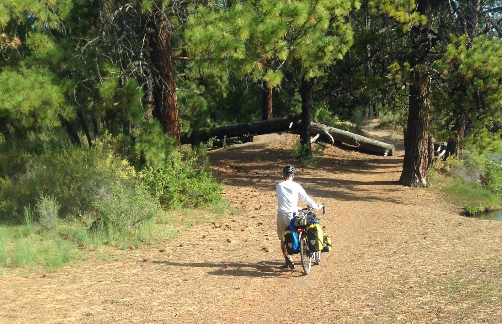
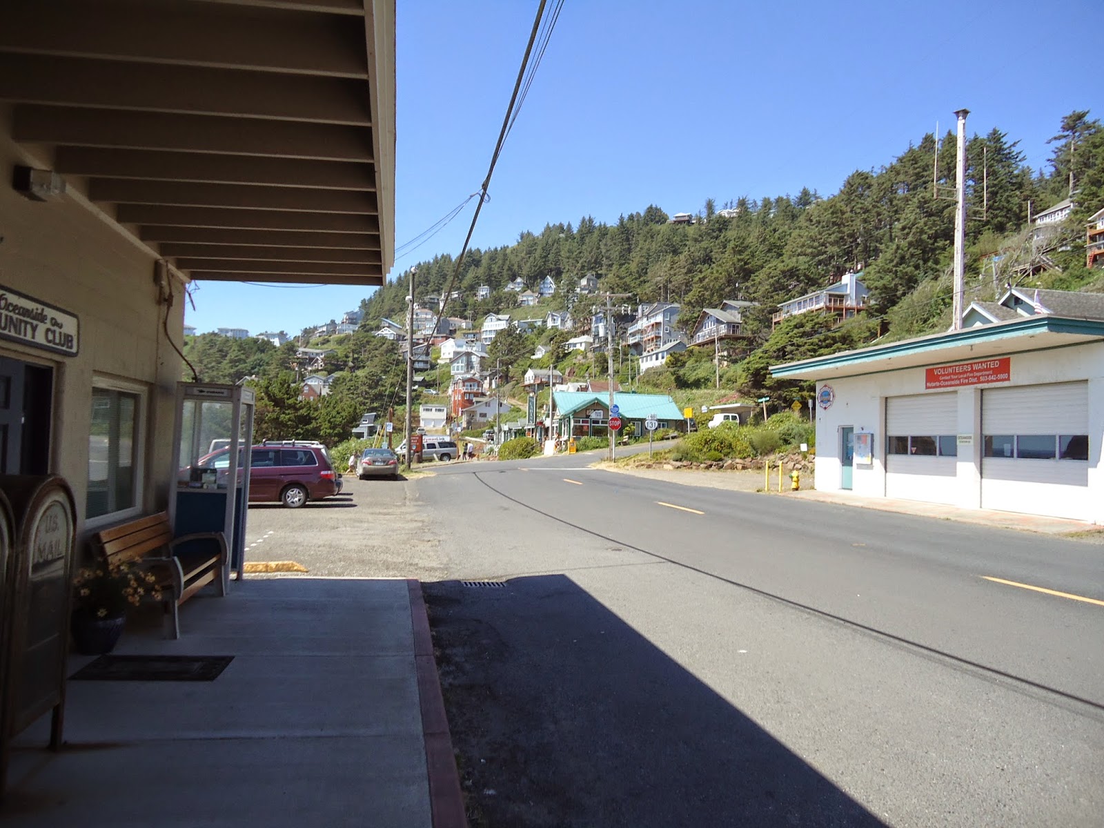
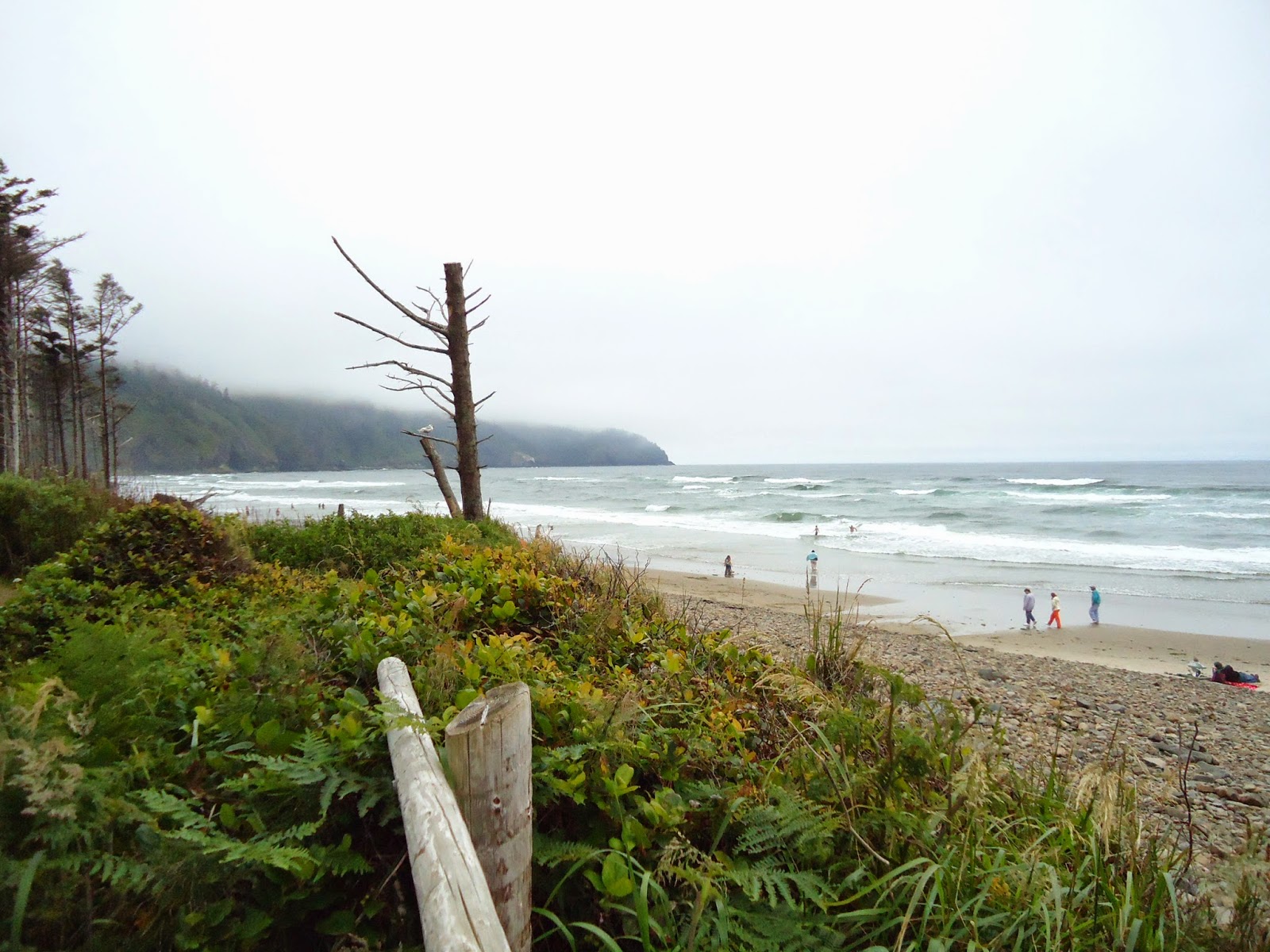
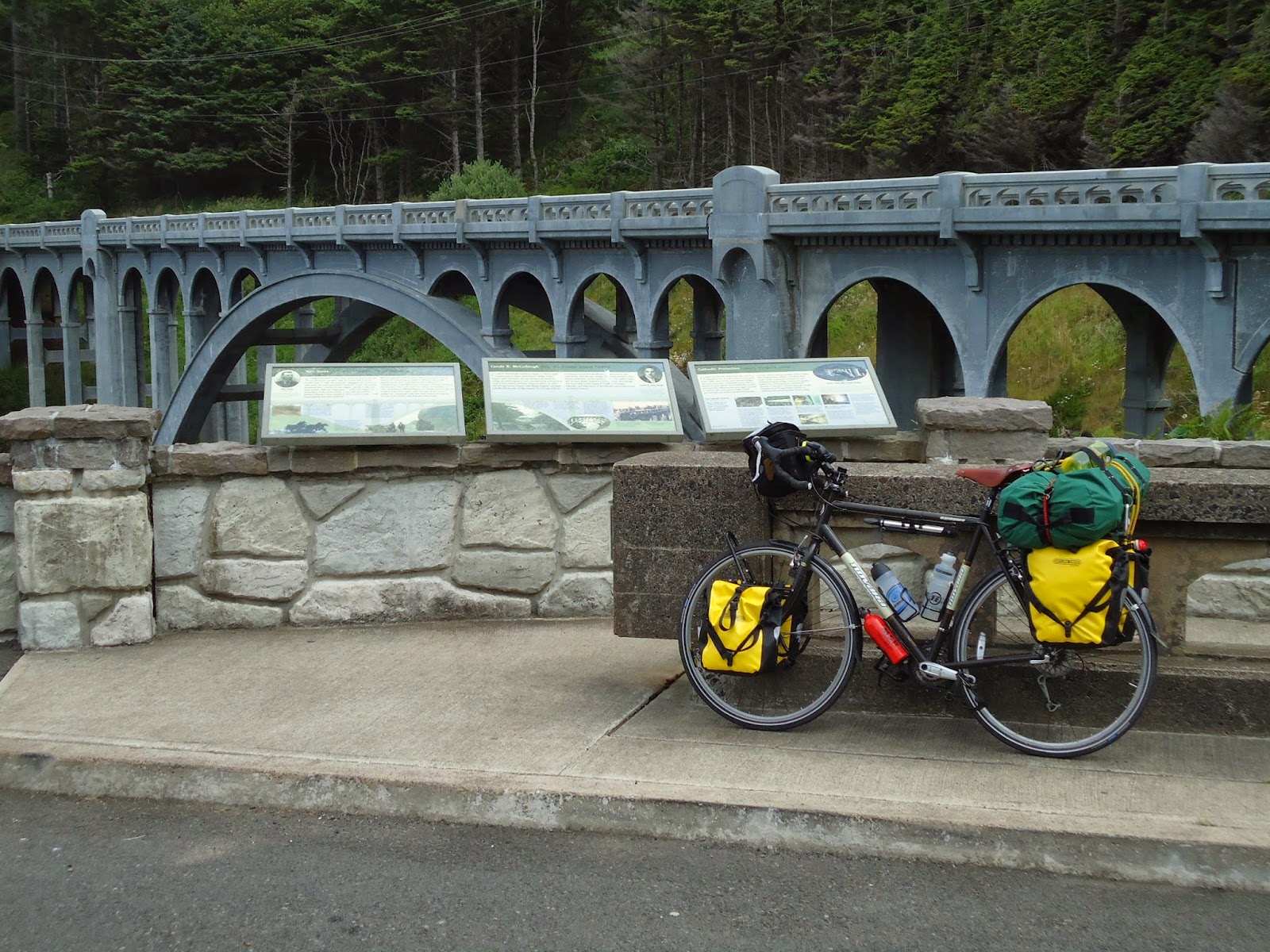
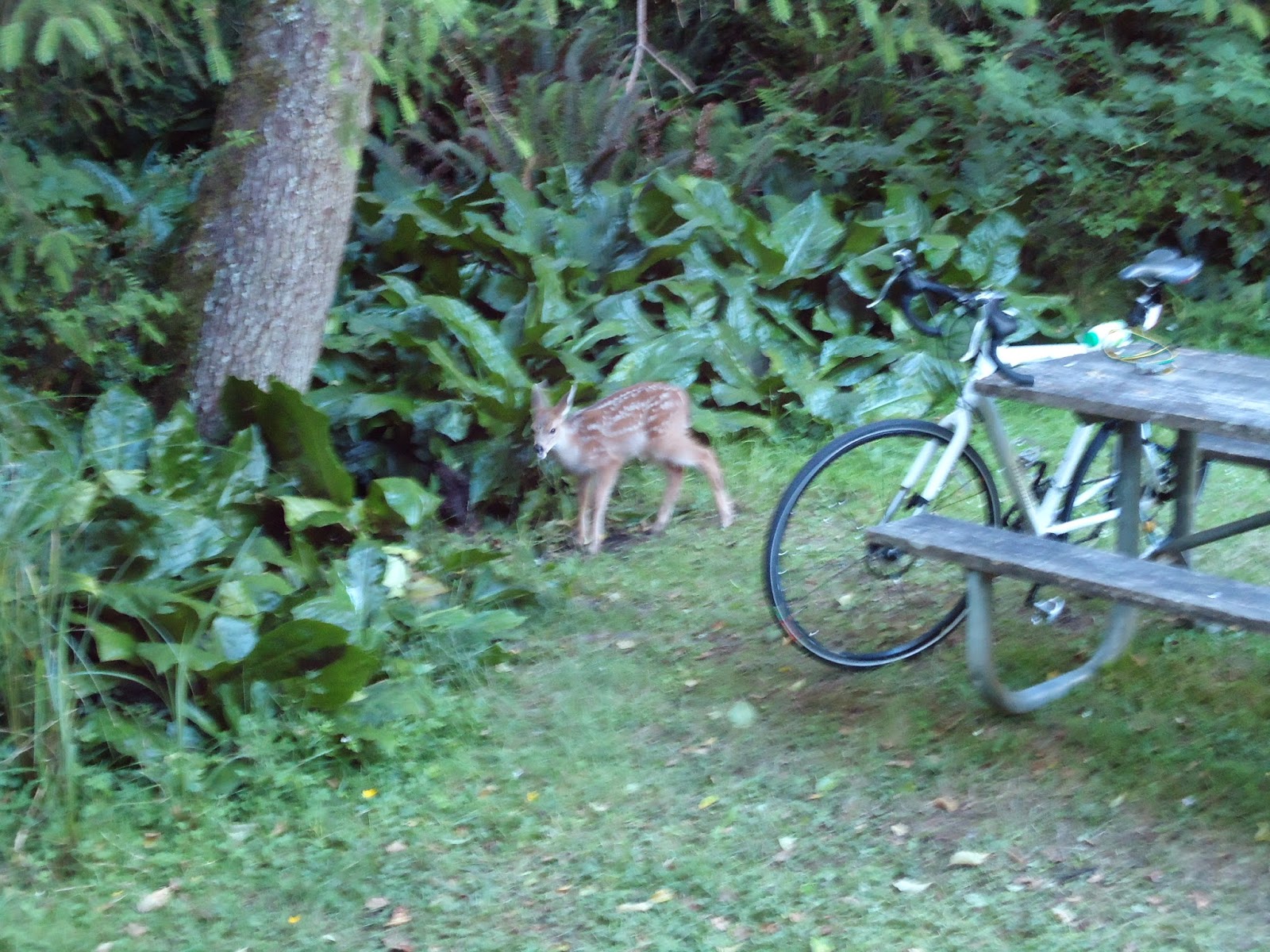
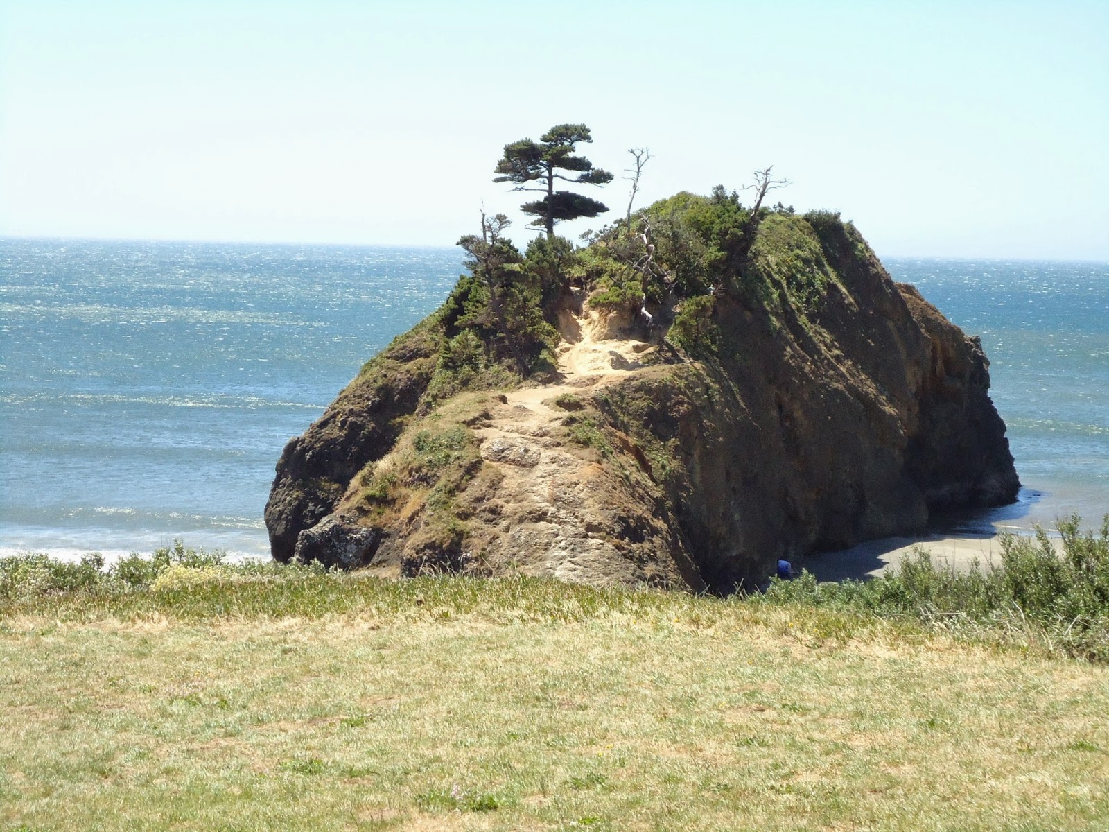
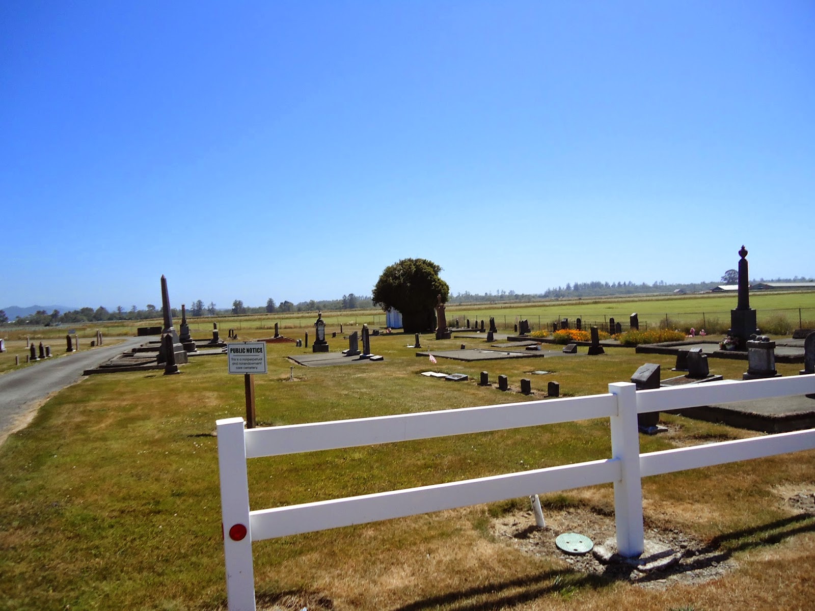
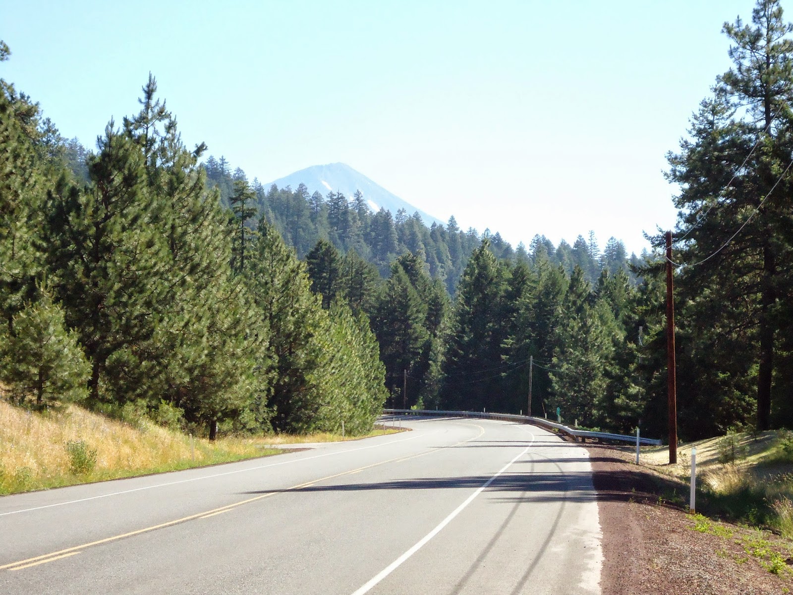
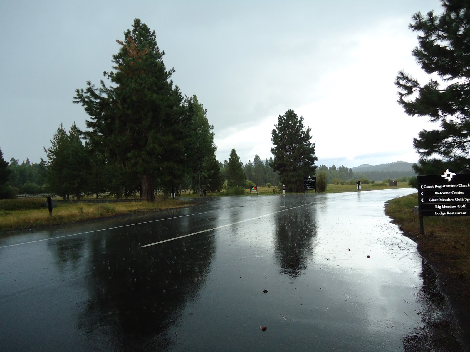
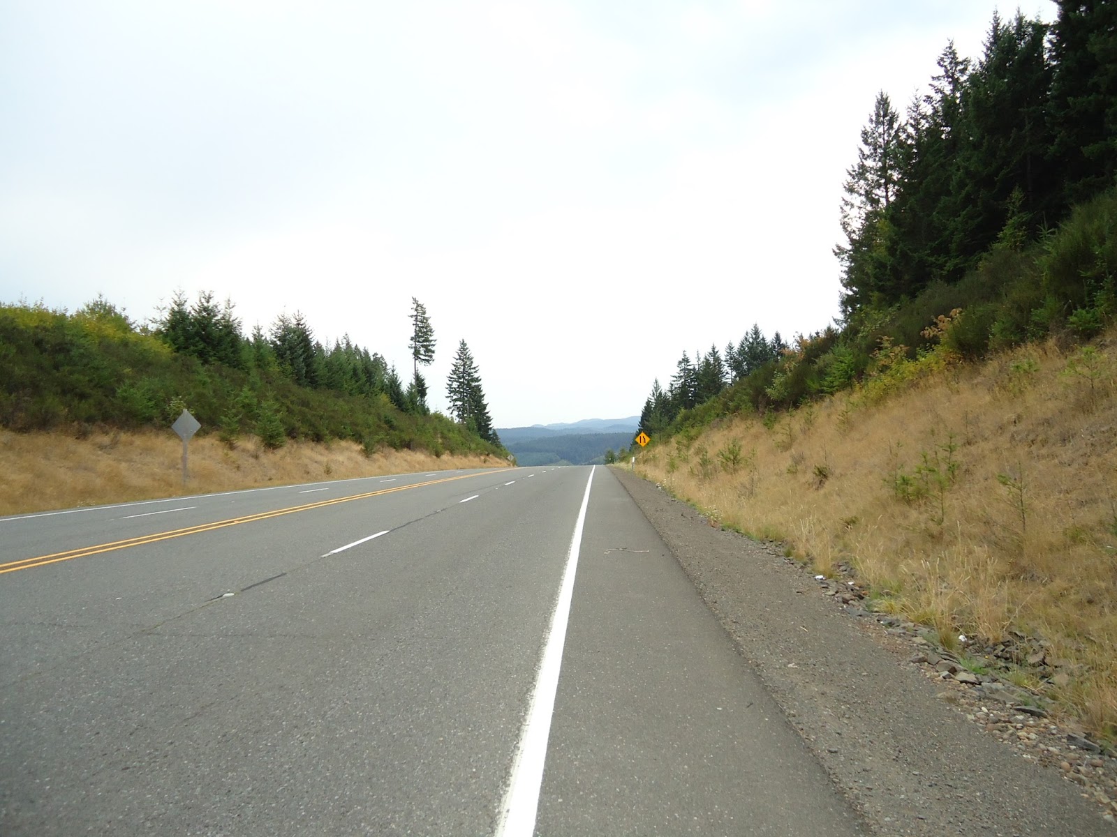
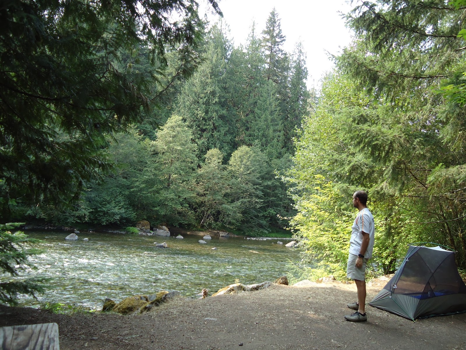
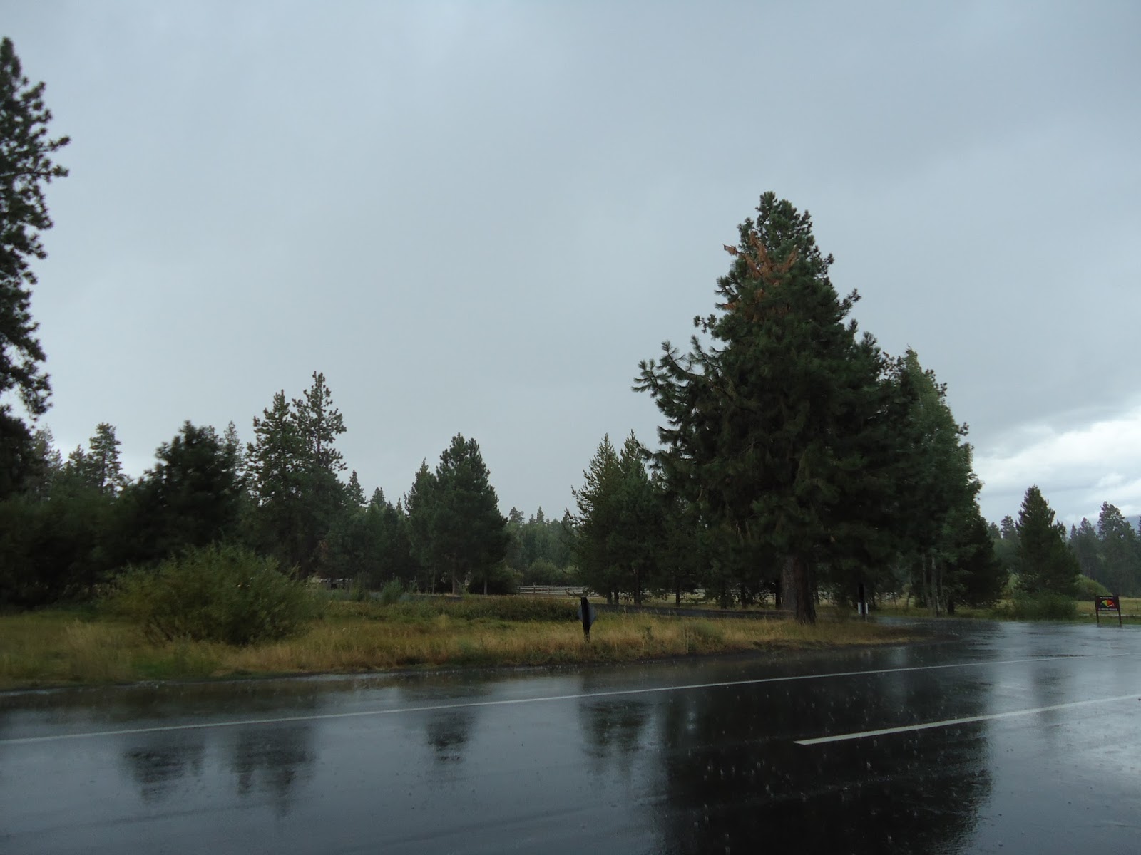
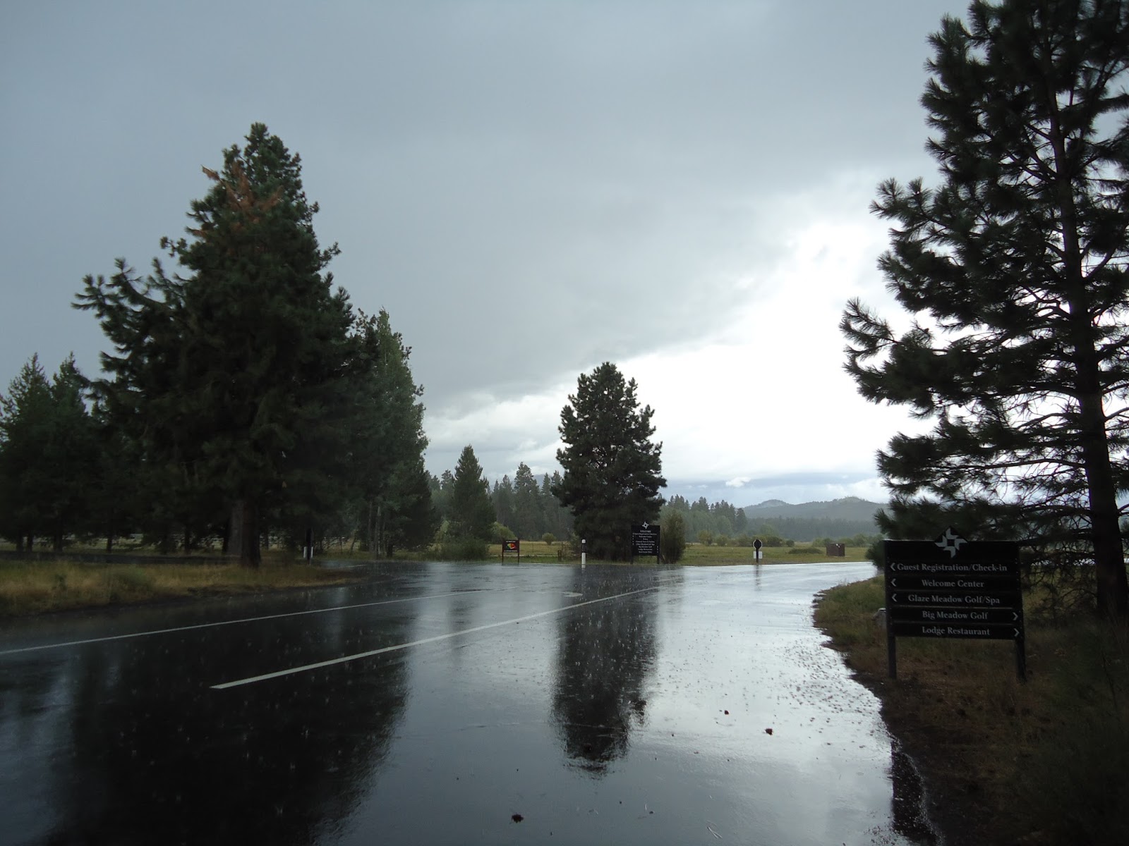
Entrance to Black Butte Ranch

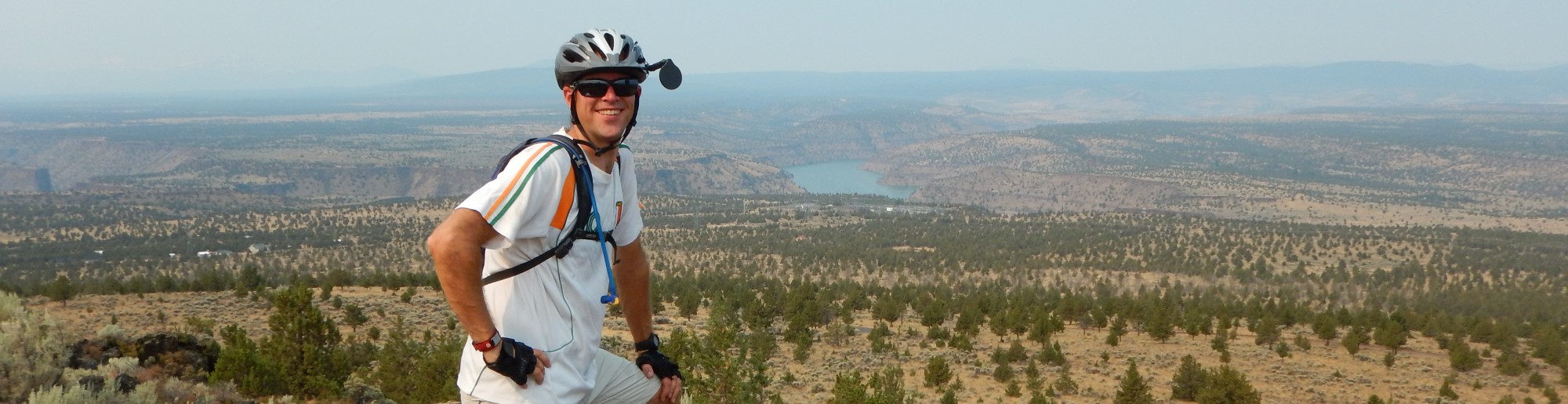
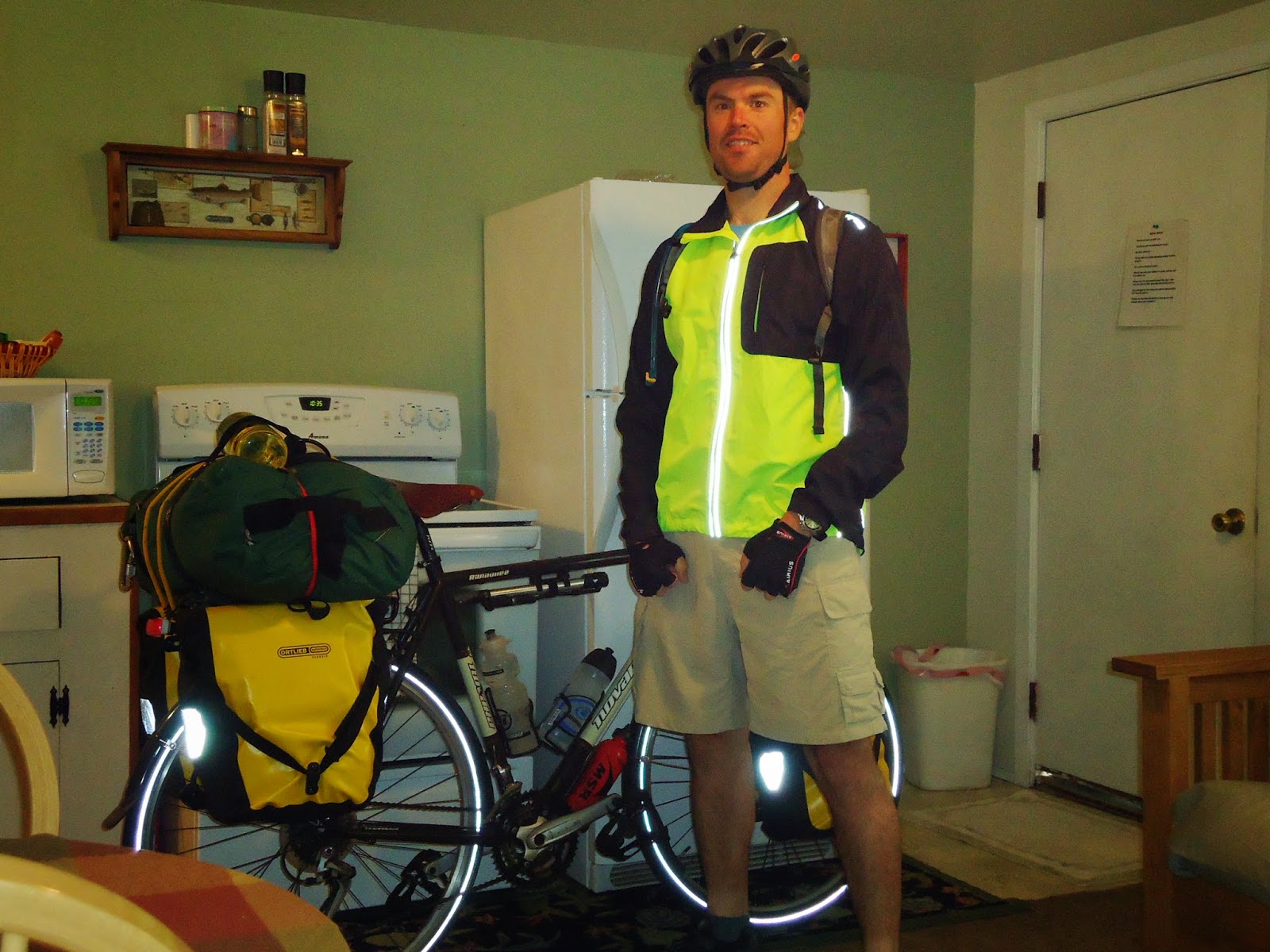
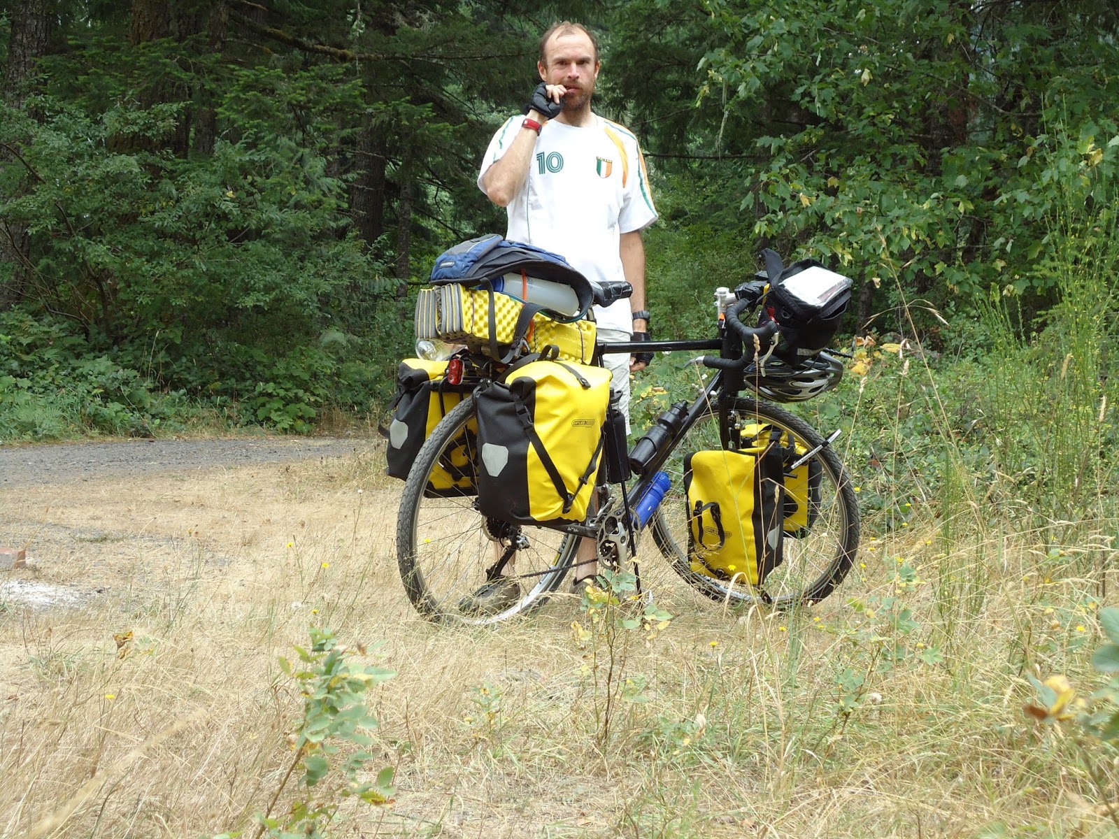
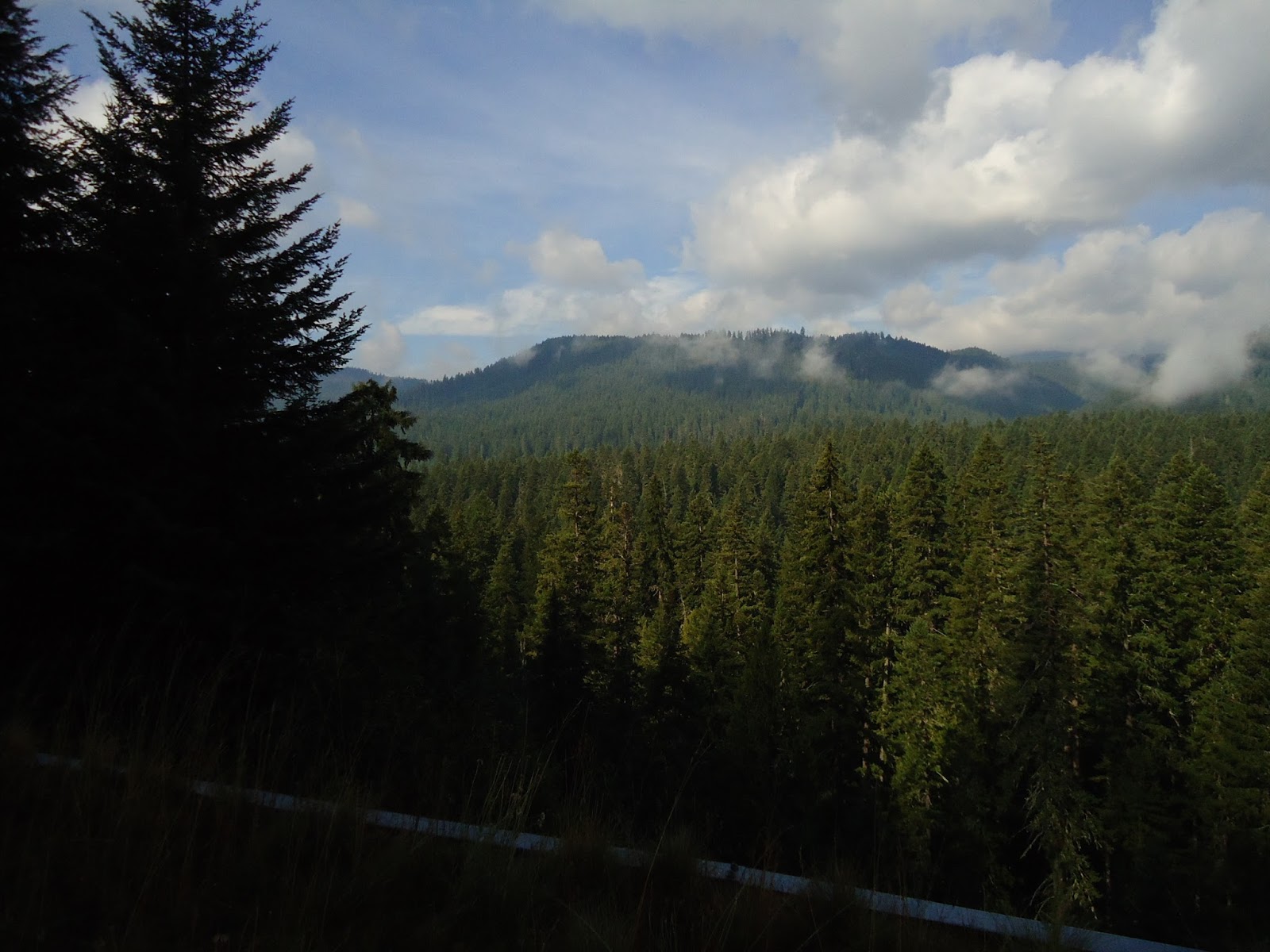
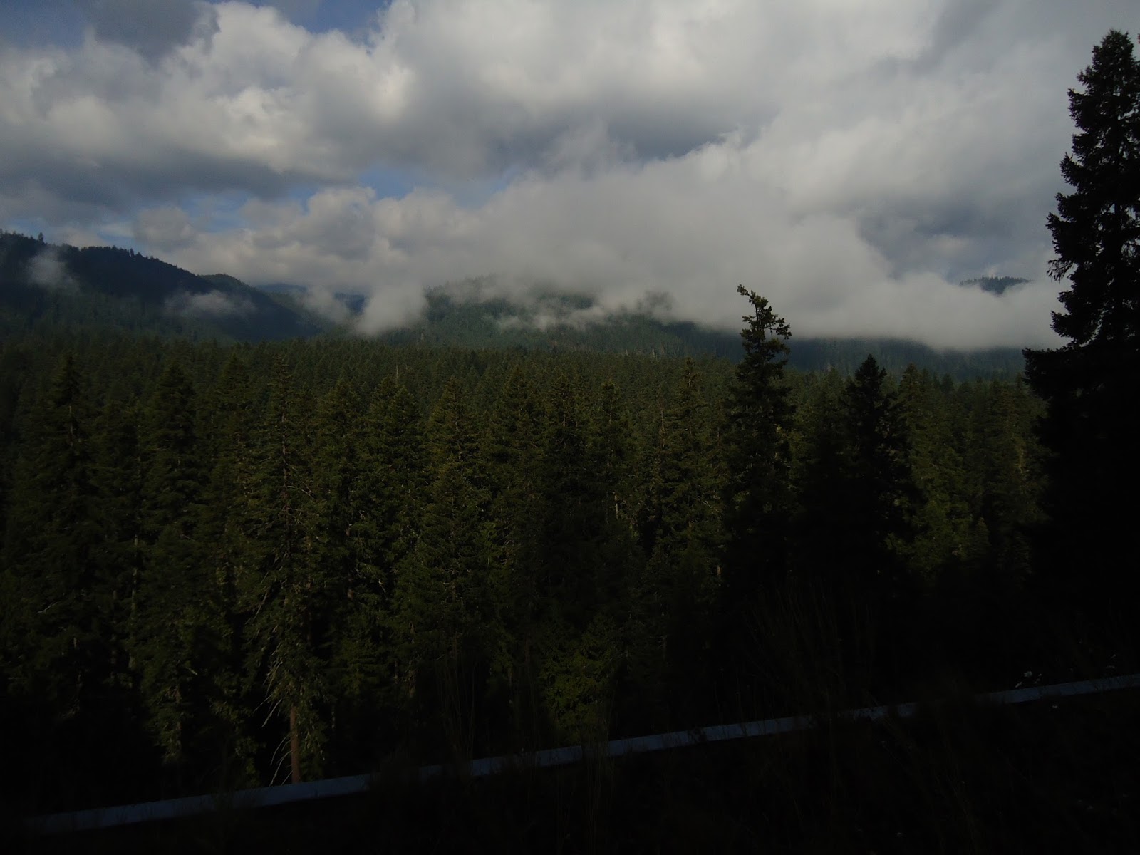
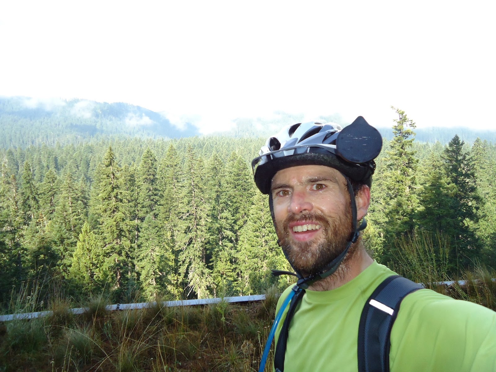
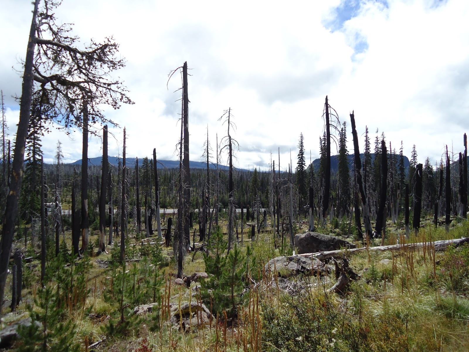
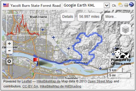
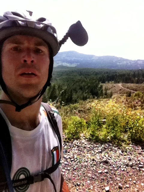
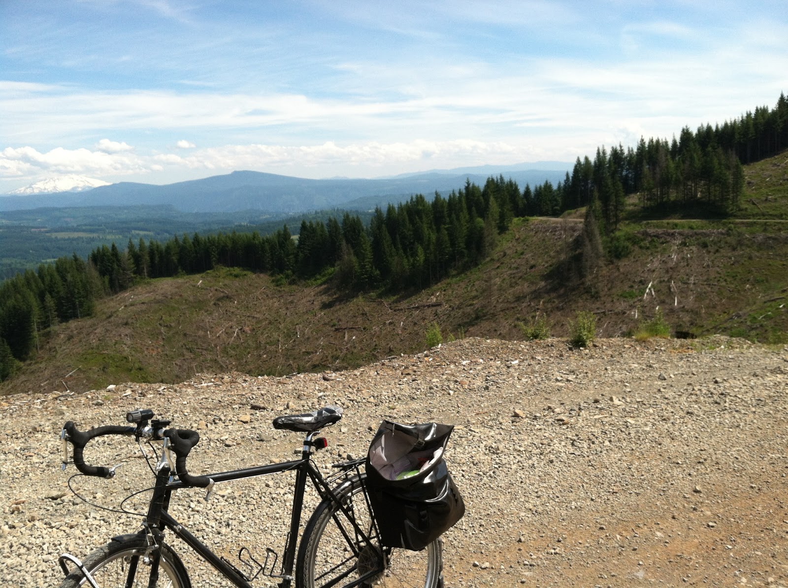
I saw the dark cloud from the summit of Santiam Pass, Oregon highway 20, and continued cycling towards the ominous rain cloud thinking it would be gone by the time I got there. The two lane busy highway west of Sisters, Oregon was flooded, rain was crashing down, and hail was mixed in with it. Cars were continually sending sheets of water into my side as they hydroplaned by. I was standing on my pedals pushing on them as hard as I could. On a scale of one to ten, ten being maximum effort, I was putting out a thirteen. I was pushing myself way beyond the red-zone, perhaps purple zone would be more appropriate. This storm was noisy loud as the thunder was deafening. Lightning was touching the ground on all sides, but none had come out and zapped me, yet. It was only a matter of seconds before a driver lost control of their vehicle slamming into me ending my life, it was either that, or a bolt of lightning. The sky looked like it should’ve been ten o’clock in the evening; however it was only ten to three in the afternoon. I woke up early that morning eager to get a start on the day. I peered out the window from behind the blinds of my cheaply tiny motel room. Damn, it was raining, again. My eagerness quickly faded. I powered up my iPhone and checked the forecast for Detroit, Oregon. Rain, a quarter of an inch was forecasted. Now I really didn’t feel motivated. My plan was to ride single-track in the forest following highway 126 south fifteen miles to highway 242. Fuck it I thought, “I’ll go it eat breakfast come back and maybe it will have stopped raining before I leave.” I sat down for breakfast ordering my usual power meal, two poached eggs, hash-browns, wheat toast, and griddle-cakes. What I got instead was two poached eggs and griddle-cakes. Oh well, I will leave town the way I came in, with a fucked up order. Walking out the door of the restaurant, I found the sky holding onto its water supply. I quickly walked back to the motel room. I saddled up Black Magic opening the door to my room and pushed the bike outside. Raining again; oh well I thought, I can’t let a bit of rain spoil my day. The riding was a gradual ascent from 1,500 feet above sea level to the interchange of highway 20, and 126, sitting at 3,500 feet above sea level. The rain kept me from overheating, and at times I could see my own exhaust escaping out of my mouth. Mid to late summer on August 25th and I’m seeing my own breath, I said to myself in amazement. Reaching the interchange I decided to forgo highway 126 to McKenzie Pass staying on highway 20. What’s the point of riding up the scenic route if I can’t see a darn thing due to low clouds, rain, and heavy fog? I continued east up the Santiam Pass. Cresting above 3,500 feet, I had pedaled out of the clouds and the rain stopped. The air was warm and comfortable as my clothes began to dry out. I continued upwards to the summit at 4,800 feet above sea level as my clothes started to get damp, this time from sweat rather than a steady rain. The road began to level out as I reached the summit of Santiam Pass, after a steady upward climb of 47 miles. I noticed a sign indicating a turn off for an access point to the Pacific Crest Trail, so I turned off the highway. More climbing, but what the heck, I’ll go up to check out the trailhead. Reaching the top I could see in all directions; I looked east and that’s when I saw the ferocious looking cloud.

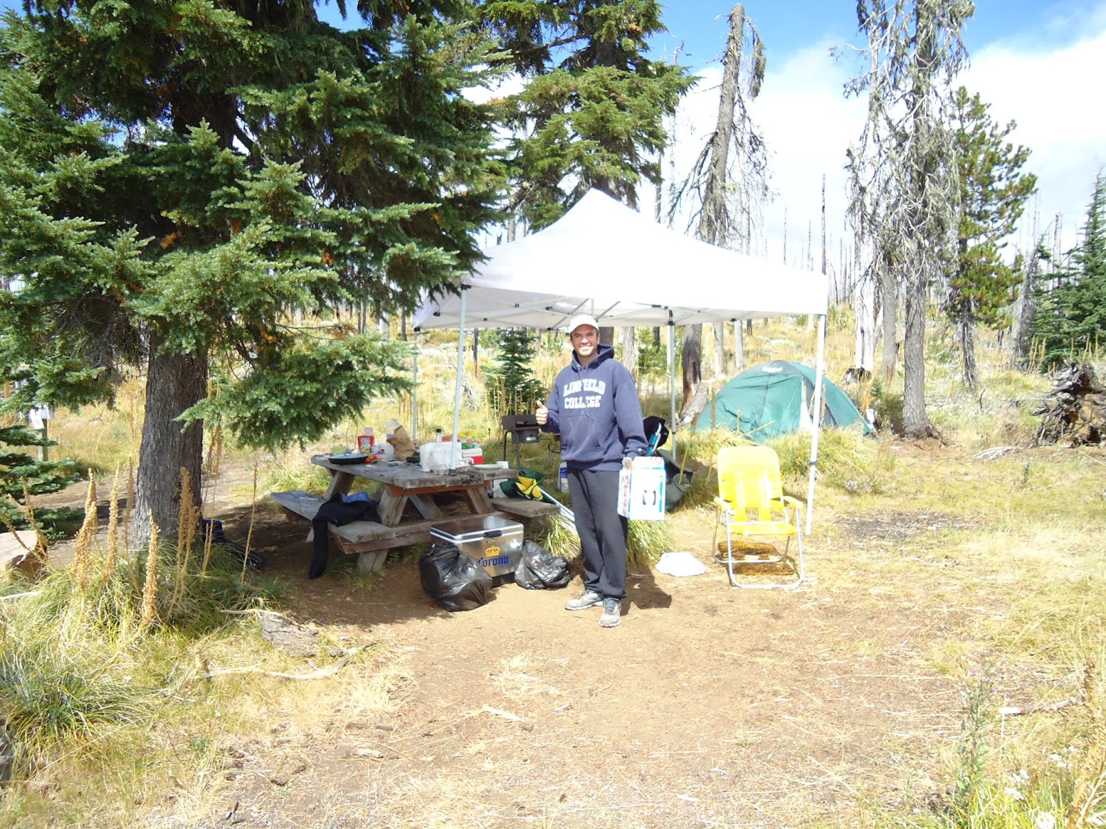
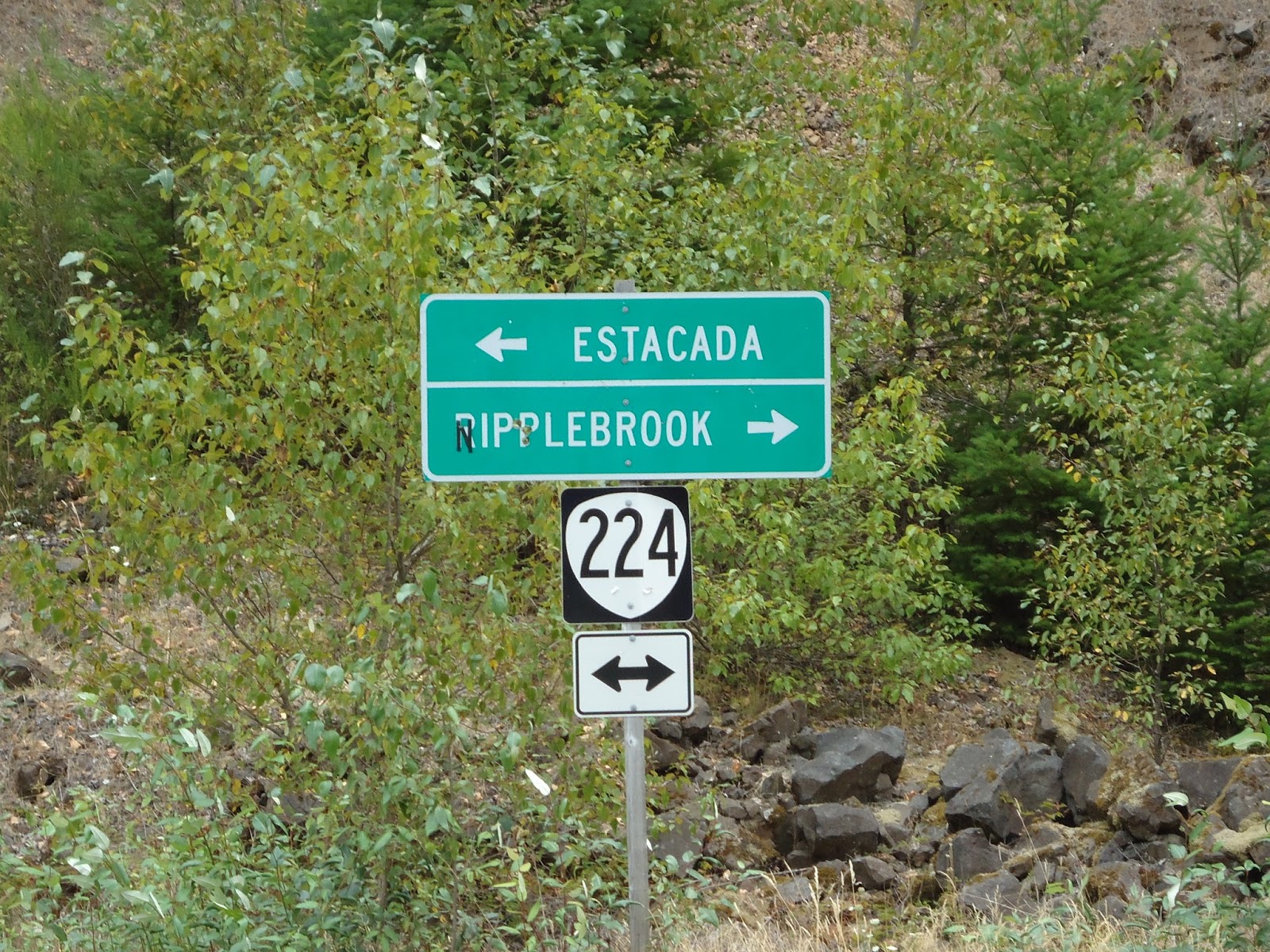
When I saw that beast of a cloud I figured it wasn’t much to worry about. I was still a good 35 miles out from Bend, and 15 from Sisters, Oregon. That sucker would be long gone by the time I got there. I turned to head back to the highway and a guy called out, “Hey there, you look like you’ve been going for a while, need a cold drink?” “Sure.” “We’ve got beer, coke, water, what’s your flavor?” I cycled over and noticed that a guy, and gal, had set up a tent at the trailhead complete with a two burner propane stove. “We’re here providing trail-magic for the threw hikers of the Pacific Crest Trail, but you look like you’re out on a long journey yourself.” “Yeah thanks,” as he hands me a coke. “I’m riding from Portland to Crater Lake via as many forest roads as possible. Are you getting many through hikers along here?” “Yep, this is the time of year when they come through this part. I through hiked last year and this spot offered little in the way of trail-magic, so I decided that I’d post up here and provide magic for the hikers.” “Will you sign my book” he asks? I signed his log book and I pedaled off with a sugar high. Today’s turning out to be a good day after all, I thought to myself as I turned east back onto highway 20.

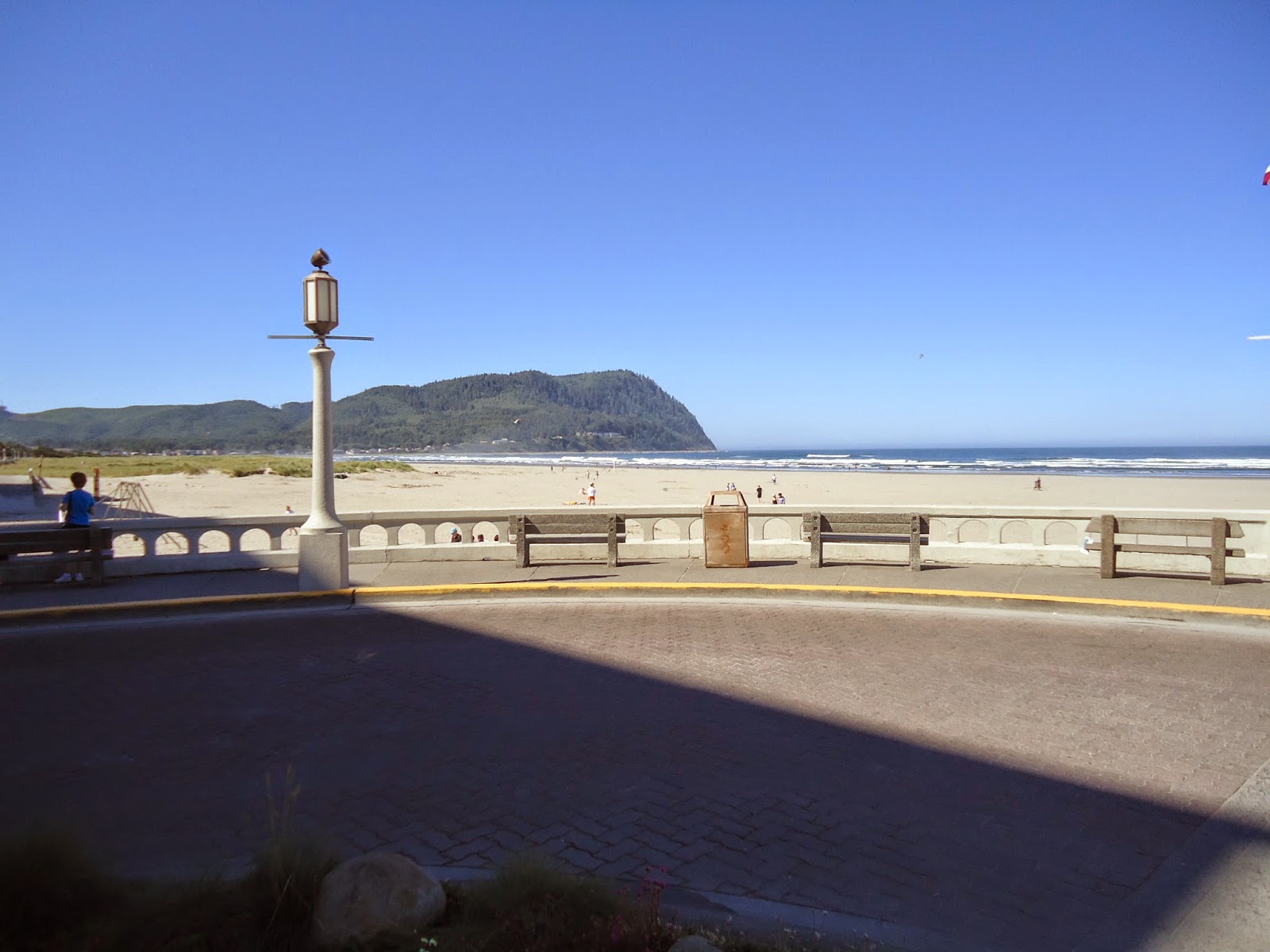
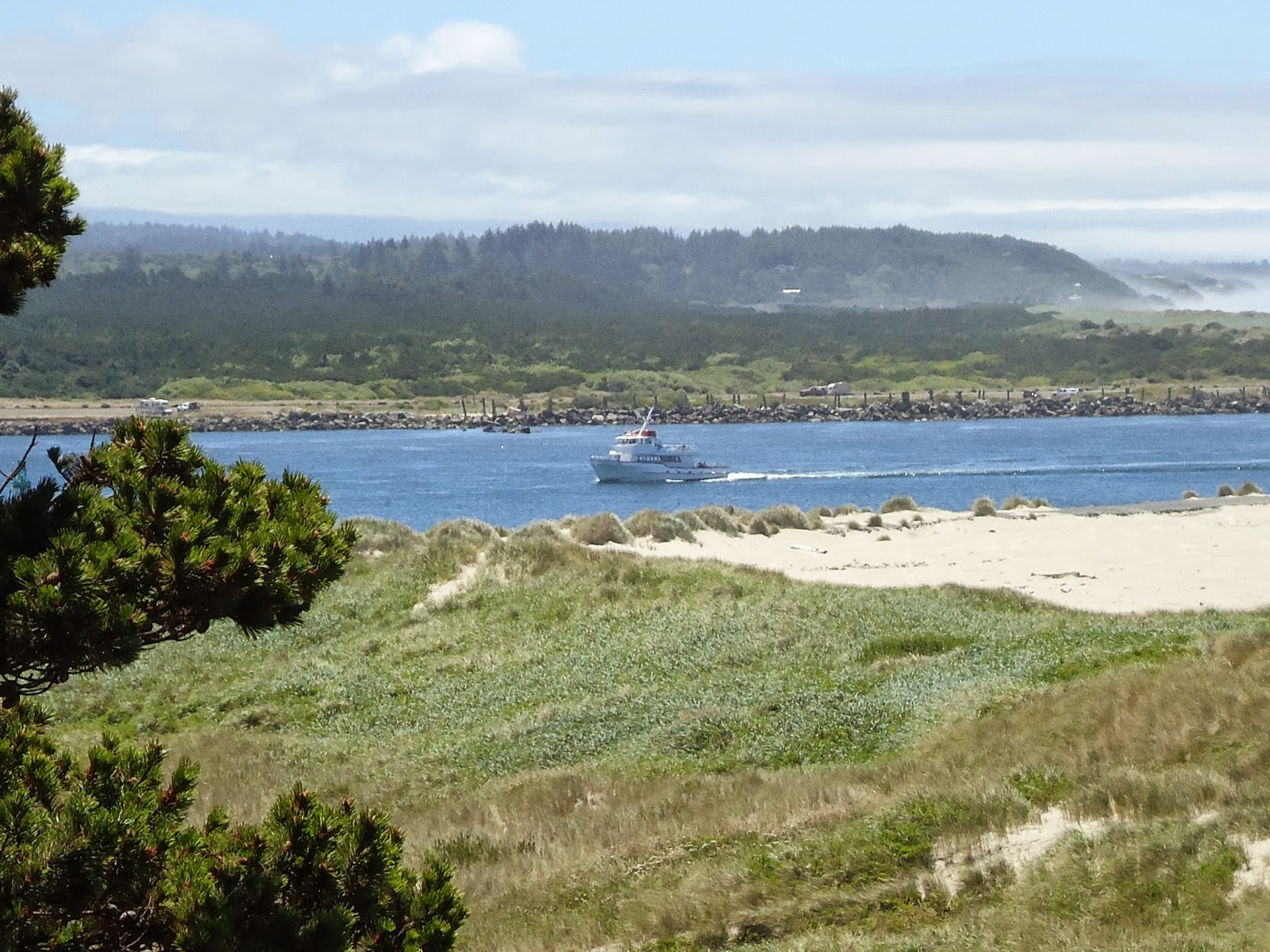
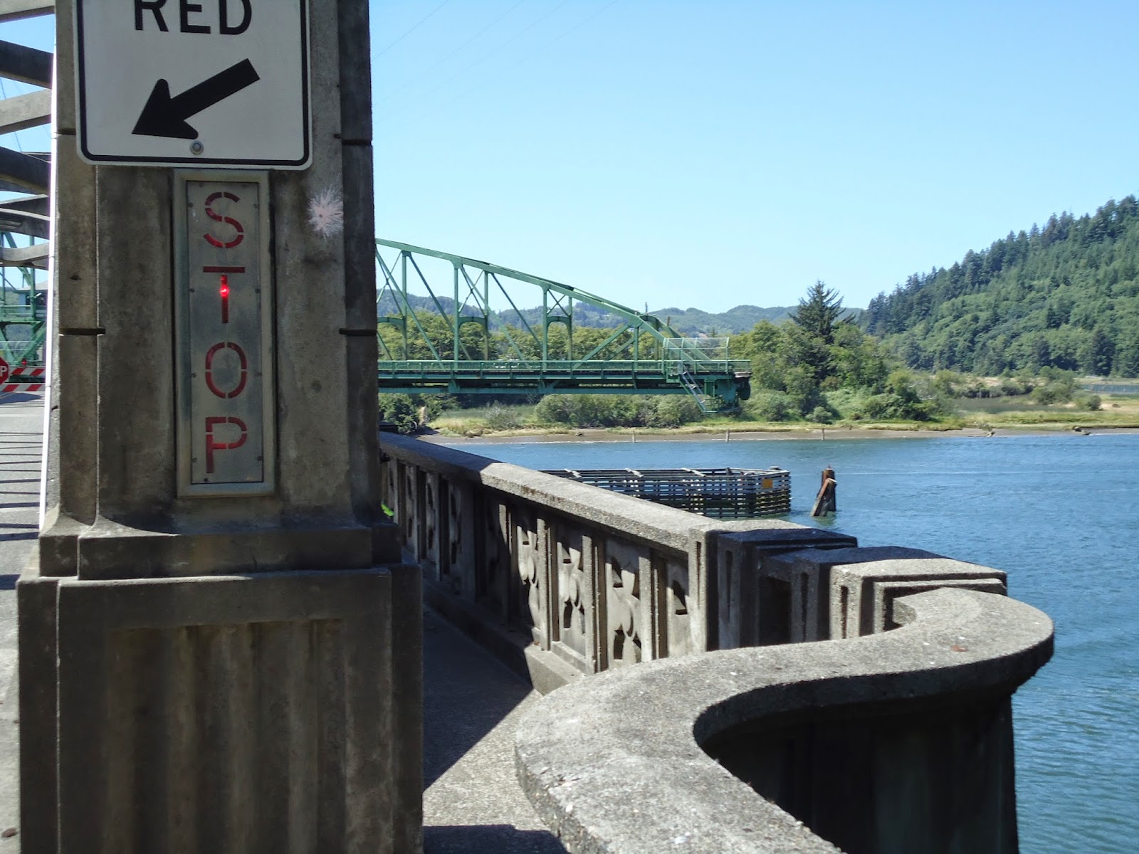
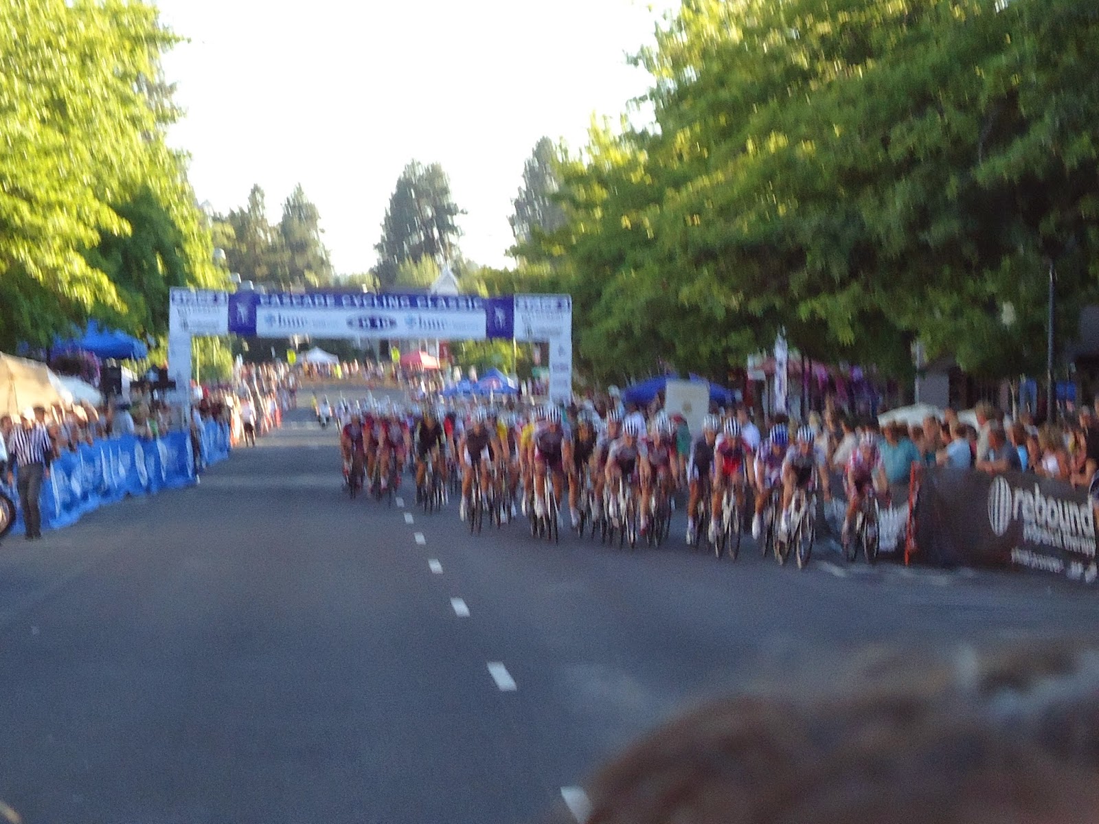
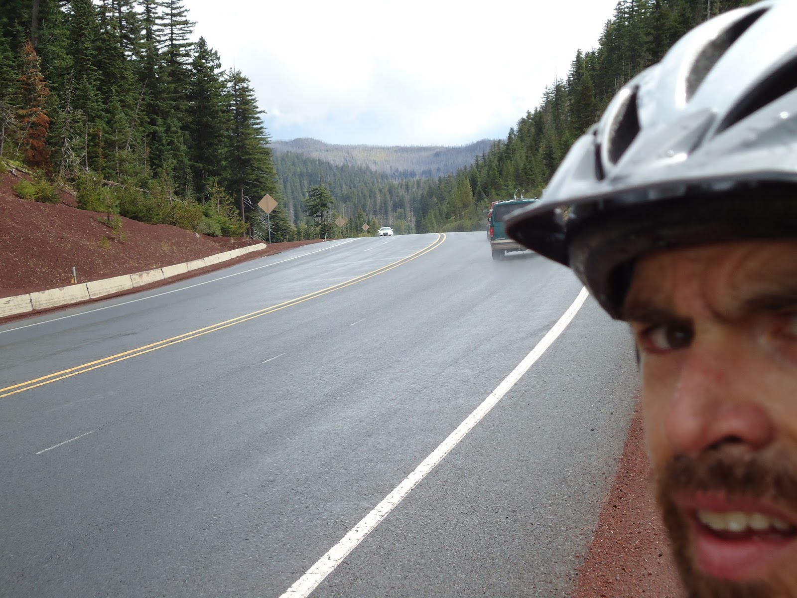
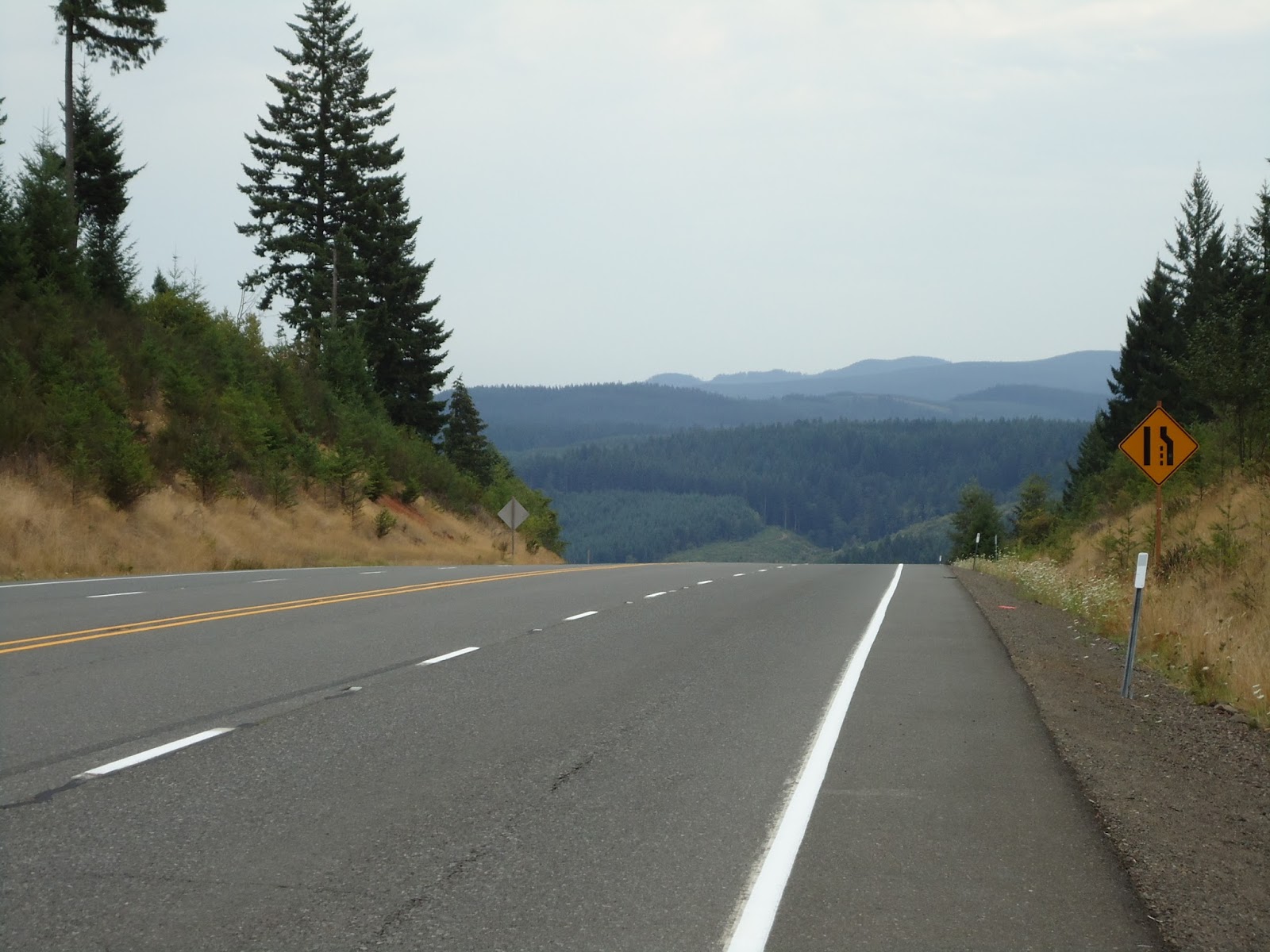
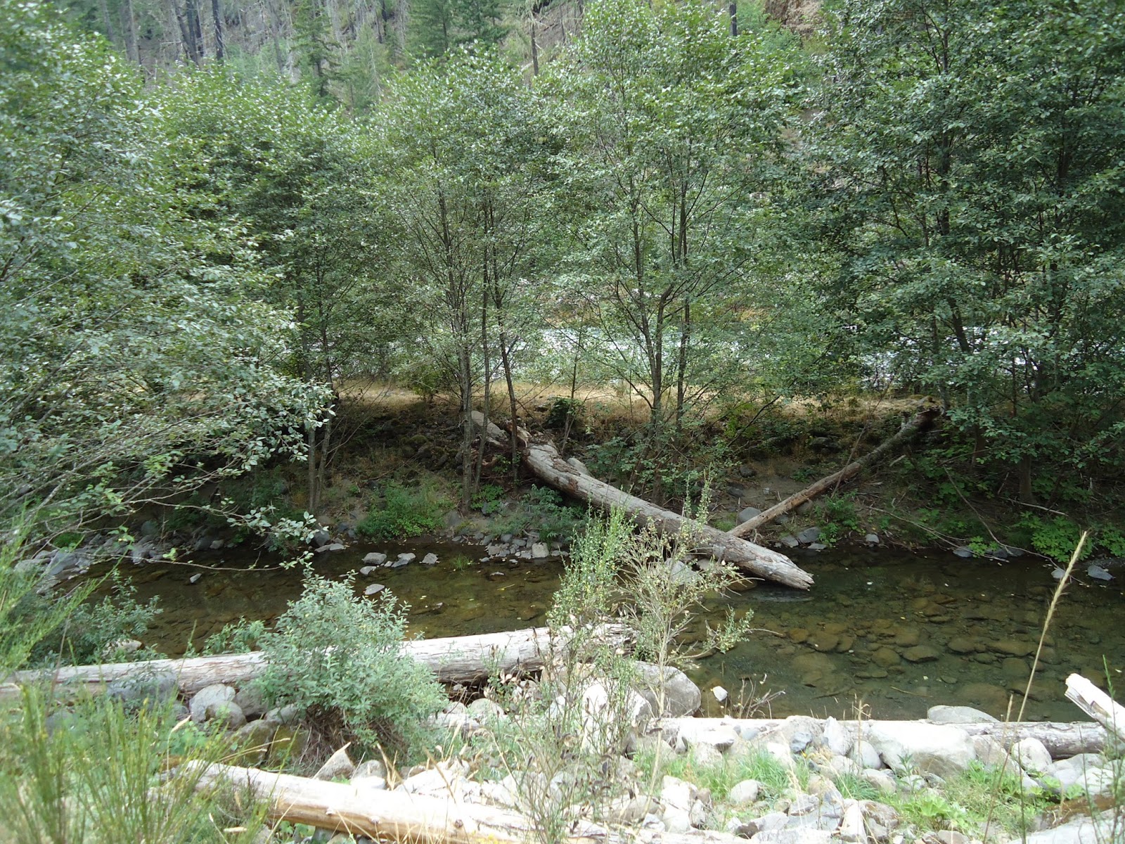
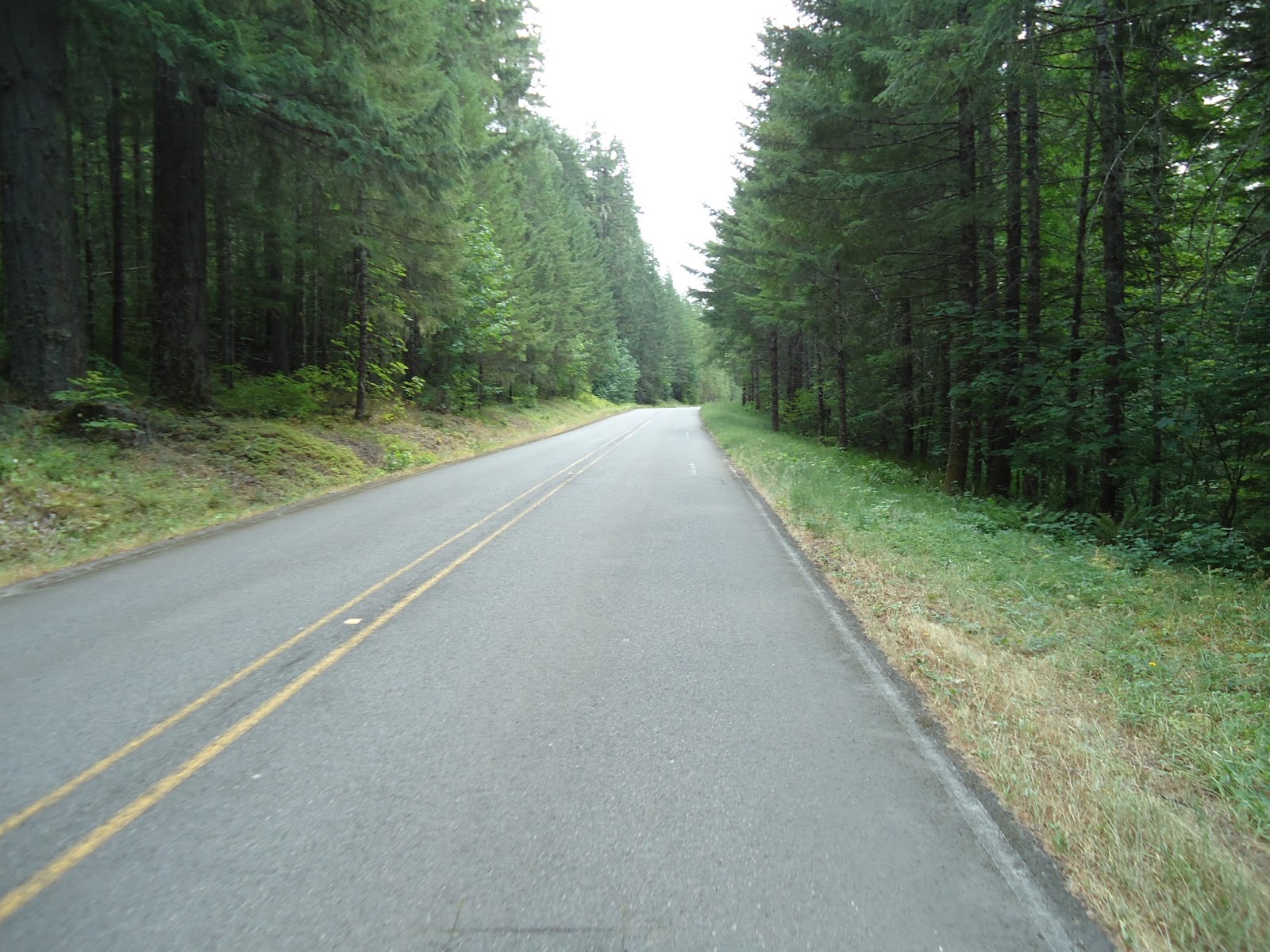
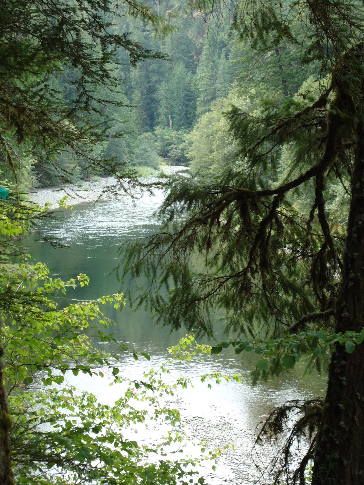
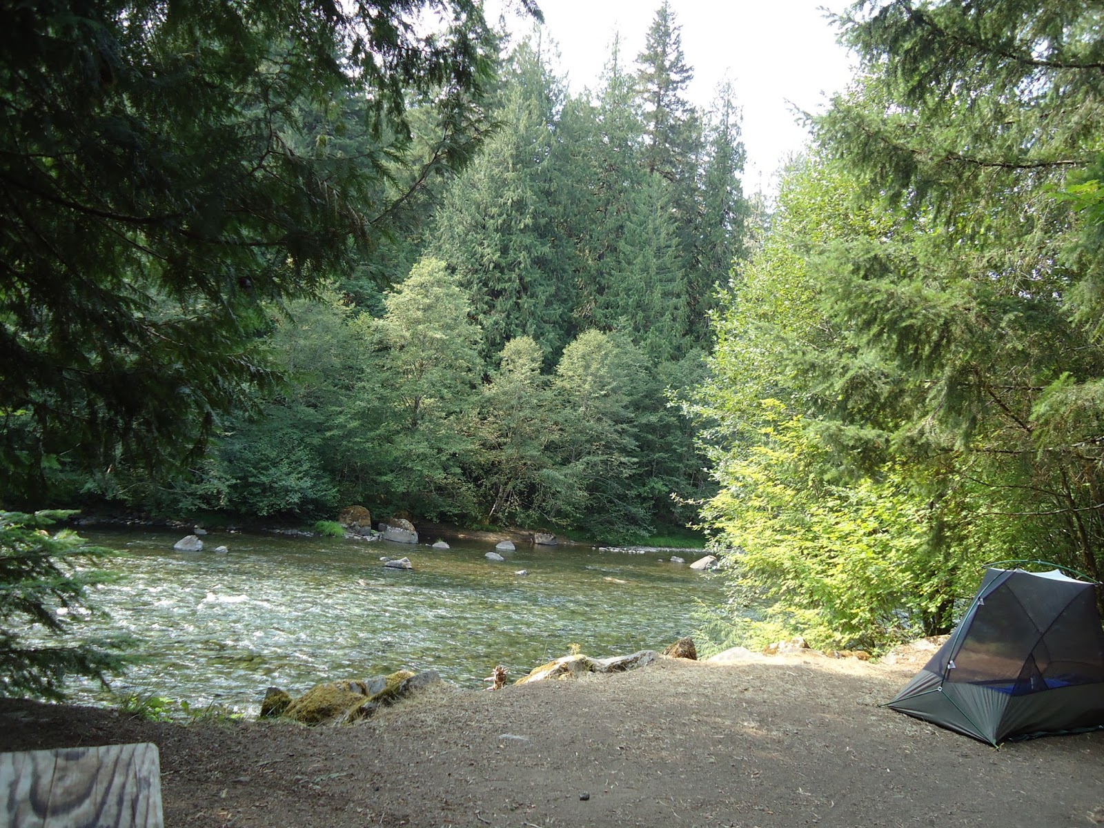
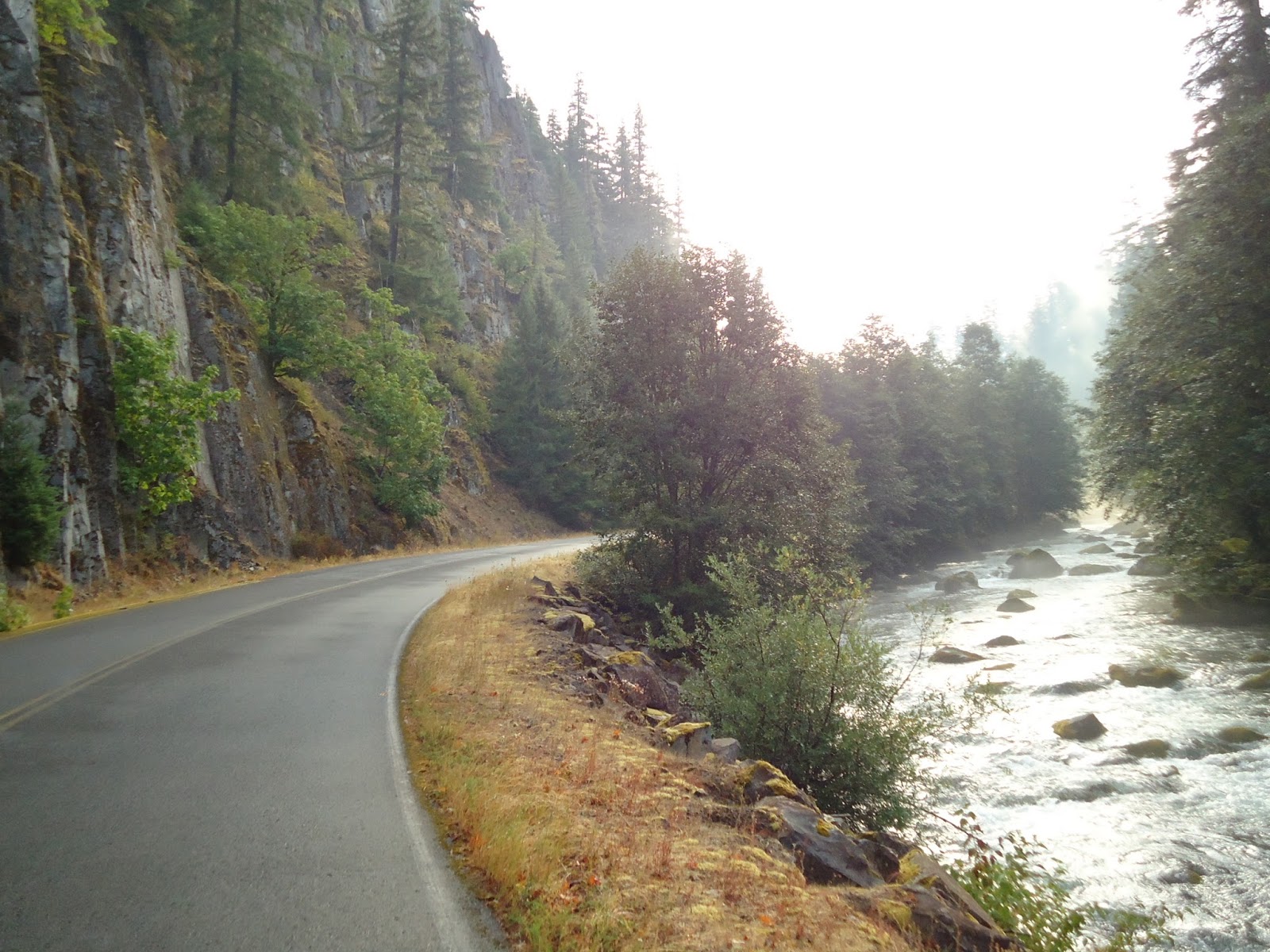
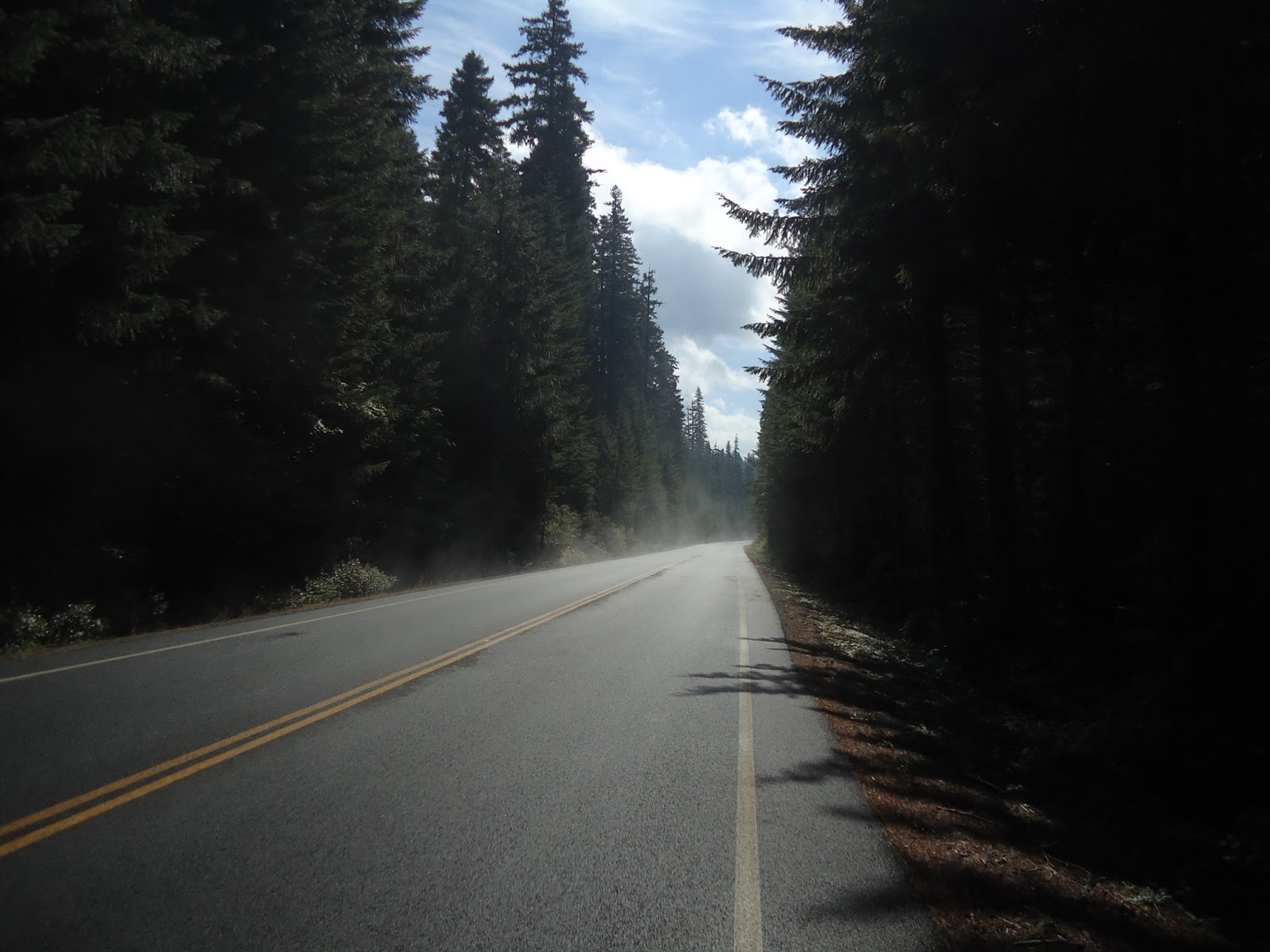
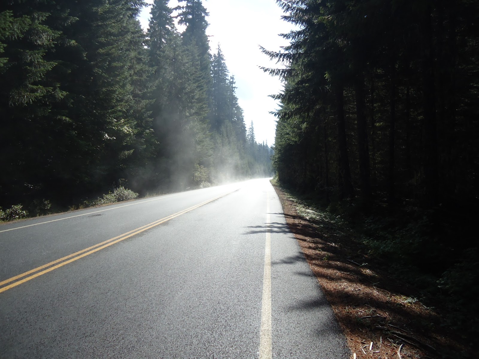
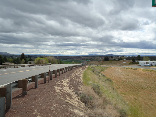
I found myself quickly topping speeds of over 45 MPH as I descended from the summit of Santiam Pass. That big dark spot in the sky was coming ever closer, and looking even more threatening, as I continued heading east at a high rate of speed. “Black Butte 10 Miles” the sign warned as rain began to fall from the sky. The sky was a dark grey, but looking fairly innocent. This wasn’t so bad I told myself. Thunder rolled in the distance, nothing to worry about, as I proceeded towards Black Butte Ranch. For every mile I got closer to Black Butte the rain became heavier, and more treacherous. I stopped and switched on my tail-light to flashing mode. Cars were switching on their headlights and starting to ride the fog-line. I was becoming a bit nervous. This is getting bad, I told myself. I pulled into Black Butte Ranch. Pulling into Black Butte, I found a tree that offered a small dry spot. I stopped for minute grabbing a few pictures. I was thinking, perhaps I should go find some shelter a place to hang out letting the storm pass. Gazing at the sky I noticed that the clouds appeared to be drifting northwesterly. I told myself that I was on the eastern edge of the storm. I just had to get clear of it and things would get better. I didn’t have much further to go. So I turned around and pedaled back to the highway turning east again. At this point the rain drops were big, and heavy. The highway soon flooded. As I pulled up to the intersection I noticed that the vehicles were all hugging the fog line, my shoulder was gone. I hopped off the bike pushing my bicycle in the drenching, flooding rain, five feet off the shoulder in a soft cinder filled ditch next to the highway. Small rivers began forming in the trench as I skipped, and leaped, through them. As I shoved my bike along in the grueling red cinder filled shoulder with gushing water that was trying to escape the flooded river of a highway, the rain was beginning to ease up. And then it happened, the rain quit just as quickly as it had begun. I had reached the edge of the storm. The highway was drying, the cars began moving back to the center of roadway away from the fog-line, and I hopped back on the bike. Gerrr… gerr… grind. What the fuck is that? An awful grinding sensation was coming from the rear wheel. I hopped off next to the busy highway and pushed my bike back into the red cinder pit. I examined my rear wheel and it was covered in sticky red lava rocks. Damn I said out loud. I cleaned them off as best I could unlatching the brakes. The process was futile, the bastards were everywhere. I pushed the bike back out onto the shoulder, and doing so covered the rear wheel again. So this time I had to complete the process all over once more while standing next to a dark wet shoulder inches from high-speed traffic in low visibility. I started riding again, with a noisy back wheel. Riding along the wet highway minus precipitation the roadway began a gentle ascent. As I crested the hill the sky began to close up, and quickly. The storm, that I thought I had passed through, began merging into another storm cell. Suddenly thunder was ripping through the highway as my daylight was disappearing. Dark black clouds had blue bursts of electricity flashing through as rain began lashing down upon me. The winds howled, thunder began ripping violently through my body, and highway 20 turned into a river. I started looking to my left, and then right, spying for anything that might provide me shelter. Glancing over to my right as I was cycling down the highway, I saw a bolt of lightning touch the ground, and pause, growing huge with energy. As this was happening a violent crack sent my eardrums into a frenzy. The crack felt like it had ripped my chest open and flicked my heart sending it racing into my throat. “FUCK” I screamed – I was trapped. Sisters can’t be much further I told myself. I needed off this highway. Cars were racing by once again, only this time they were hugging the shoulder, even tighter. The only difference was, I wasn’t five feet off the highway pushing my bike; I was still pedaling on the narrow shoulder. I couldn’t duck into the forest for shelter because the constant lightning was bursting down into the ground just feet away from me, on all sides. The wind was racing just as quickly as the cars; and then it began to hail. FUCK! – I picked up a little more speed. Hail was pelting down onto my helmet, and floating in the inch of standing water on the highway, as I arose onto my pedals. Sisters can’t be much further I thought. “Sisters 6 Miles” a sign indicated that I had come upon. Oh damn, my heart sank. My speedometer read 12 MPH. 30 minutes out, I’ll be dead before I get to Sisters. I picked my speed up once more, “God help me I yelled,” as I pushed as hard as I could – my speedometer now was reading 26 MPH. Riding as fast as I could possibly go in nearly zero visibility, cars were passing me by with just inches to spare sending sheets of muddy water into my face. My clothes were drenched, hail was pounding my arms and hands, yet I wasn’t feeling any pain. The sky was a strobe light of electric blue that occasionally sent bolts down into the trees next to me. Gusts of wind came racing towards me trying to knock me off my bike. It was amazing that no car had hydroplaned into me, nor that a lightning bolt decided to kiss my steel bike. And then the amazing happened. A truck pulled off onto the shoulder and stopped. I quickly approached it from behind and a young lady stepped out from the passenger side in the deluge and said, “Can we give you a ride?” “Can you take me to Sisters?” We threw my bike into the bed of the pick-up and sailed down the flooded highway into Sisters.

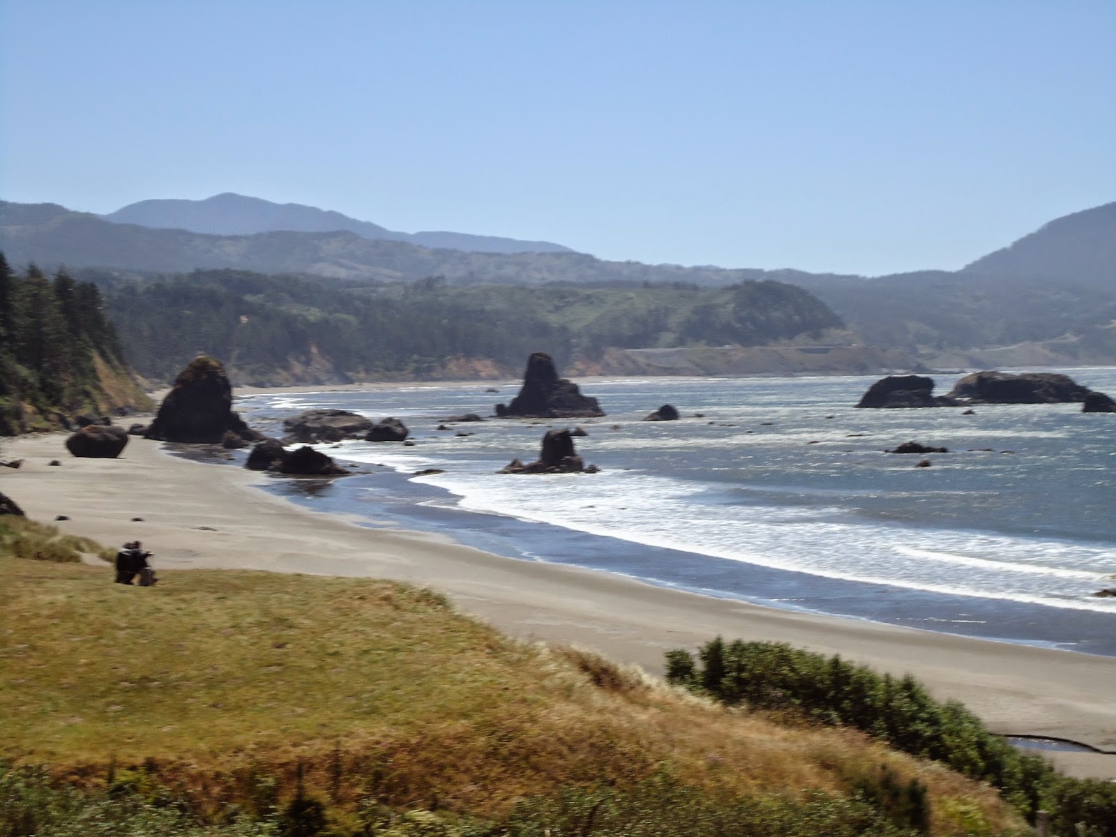
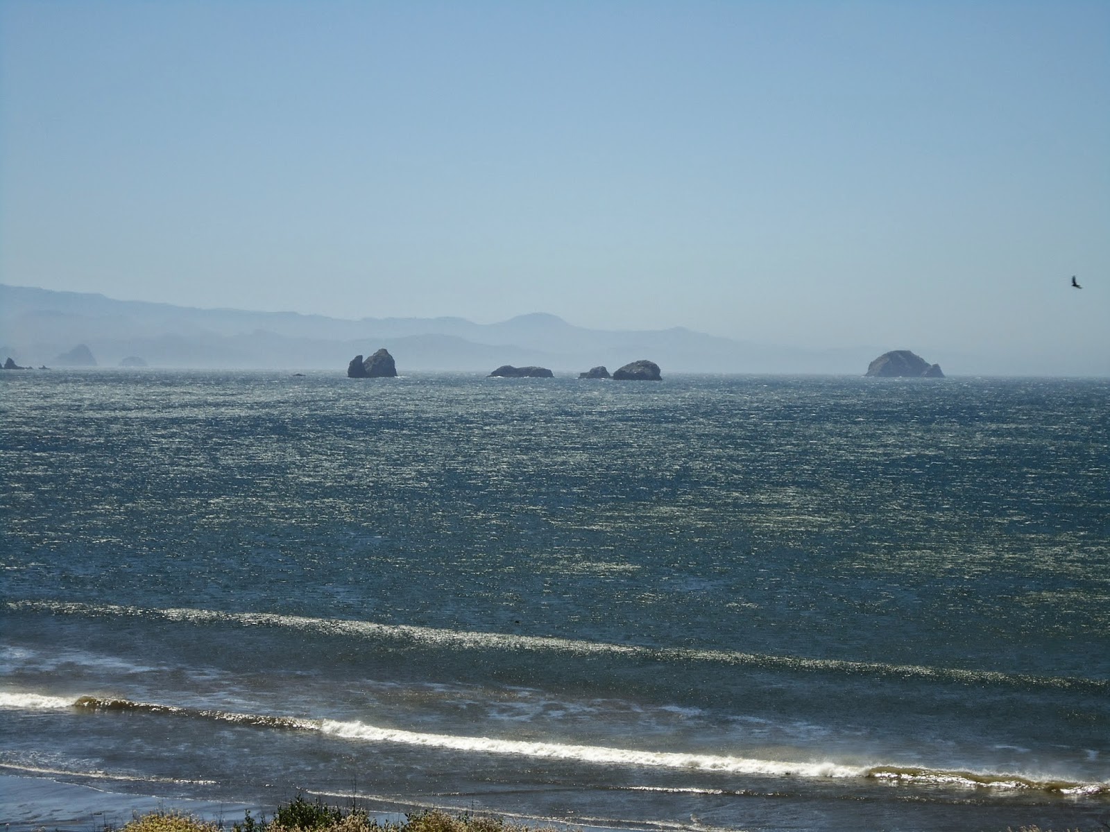
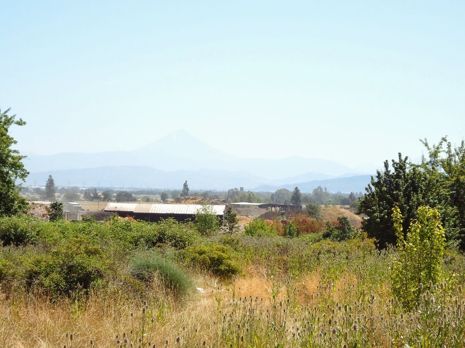
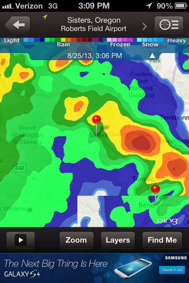
I sat outside a grocery store drip drying from the torrential rains as the storm slowly proceeded northeast, tearing apart every part of Jefferson County that it touched. As I sat trembling on the edge of Rays Food Place’s foundation, a guy comes up and says, “We passed you on the highway. That was a terrible storm you were riding in.” This was the second most terrifying experience of my life. Sitting outside the grocery store I checked the forecast – it was the same as the day I left Vancouver, Washington: a chance of afternoon thunderstorms. I was quitting. I called my friend and he came picking me up from the grocery store. As I went to bed that night safely secure from any passing storm in my friends guest room, I opened the window and looked back west into the mountains which I had just traversed. There, from the bedroom window, I saw flashes of lighting hearing the distant rumble of thunder that was still peppering the very mountains I had planned to be camping in. I had once again made the proper decision – mountain travel on a bicycle just wasn’t in the cards. Quitting was the only sane thing to do. Oh yeah and the rain ruined my camera, the last images I was able to capture were of the storm building at Black Butte Ranch.

Radar Image from Ray’s Food Place

No Mercy – Quitting’s Difficulty

Thunderstorm in Development
Another trip cut short, this time by an intensely brutal thunderstorm that I was smack dab in the middle of.  And I’ve been around my share of thunderstorms – was in one years ago that dropped golf-ball sized hail.  This storm that cut my trip short was deafening loud, and vicious.  Before I begin telling my tale of the situation that resulted in me abandoning my journey – I’d like to share how I come about making these hard decisions to abandon said journeys.
I judge my situations by a term that I call “No Forgiveness.”  No forgiveness means that if you’re in a situation and something happens, your circumstance becomes dire.  For me to make the decision to give-up on a quest takes more than one problem presented to me.  I don’t quit because it’s raining.  I live in the Pacific Northwest on the west side of the Cascade Mountains.  If you don’t ride a bike in the rain, you don’t ride a bike.  Sunshine here is the exception to the rule, it rains here.  When I ride my bike into the mountains for a seven to ten day journey, I come prepared.
Riding into the mountains on a bicycle takes preparation.  I can’t just hop onto the bike riding somewhere that’s fifty miles from the nearest town, and hope for the best.  I can be wet in 45 degree temperatures and be warm at the same time.  I have the gear to help me.  If my bike malfunctions, in most situations I can fix the problem.  If my cooking stove stops working in the field, I have a kit that will allow me to repair it with genuine parts.  If I run out of white-gas for my stove, I can use gasoline from a car, diesel fuel, jet fuel, and just about anything else that’s combustible.  Accidents and tragedies happen when people place themselves, usually unwillingly, into situations that offer no forgiveness.
I will give you a portrayal of placing myself into a No Forgiveness situation.  On a bicycle tour I decide to take the scenic route through a mountain pass, and in doing so I know I’m going to need to camp out.  I pack enough supplies like water, food, fuel for the stove, heading out for the detour to my intended destination.  I arrive at camp setting up my gear.  In the evening I meet a fellow tourist and we decide to hike a trail we’ve discovered.  But, feeling confident, I don’t pack a small sack with items that could essentially save my life.  The fellow I’m hiking with does have a day pack with him.  He carried with him: A pack of dehydrated food, water, water purification system, fire starting kit, cordage, and perhaps a few clothes.  I have just the clothes I’m wearing: blue jeans, a sweat shirt, and tennis shoes.  The fellow, and I, end up getting lost and separated from one another, and we’ve been forced to stay the night in the wilderness.  I’ve just ended up in a No Forgiveness situation.  The other guy, well he’s got options.  He can start a fire easily, he can drink clean water, eat food, and even change his clothes should they get wet.  Me, I’m now susceptible to becoming hypothermic.  The comfortable cotton clothes I’m wearing lose their insulating values when wet.  I don’t have food, water, or way to attract attention.  My situation is now dire, and loss of life is a worry – No Forgiveness.
When I’m presented with a situation I feel that offers No Forgiveness, it’s because there is more than one variable presented to me placing me at great risk.  I will use my trip where I tried to reach Yosemite, illustrating the issues I faced which made me feel ending the trip was necessary.   That said, let me say this:  If a person is traveling across the country the touring cyclist can negotiate weather systems.  Oftentimes the cyclist can hunker down for a while before pedaling beyond the system.  But when a cyclist has an intended destination requiring a route that has been chosen specifically, situations become different.
26 May 2013 I left Klamath Falls, Oregon on my bicycle intending to reach Weed, California.  I didn’t make it, and in route, I ended my journey.  The situation I faced was multifaceted.  First, I didn’t like how my shoulder had disappeared on a dogleg left corner that arose, and then falling away.  Second, my soft gravel shoulder I used as a bailout came with a five foot drop off for the unforeseeable future.  Thirdly, the shoulder on the highway was listed as two to four feet wide; but in reality was no more than six inches wide.  Furthermore, the truck traffic was unpredictable, the wind speed was high (the panniers on a bicycle act as a kite and the wind can actually steer the bike), the weather forecast was for thunderstorms near Mount Shasta, and the snow level was listed at five-thousand feet.  Arriving at the dangerous dogleg with an eighteen wheeler on my six, I had to make some decisions.
Sitting at dogleg bend to the left with a brief line of commercial trucks behind me, I needed to make some decisions.  My first decision was to bicycle around the corner.  So, I got out onto the highway and proceed to fight against the wind, but every single time I came close to the corner I couldn’t see the highway from the way it bent and fell away.  So every time, I pulled back around into the rest area that was north of this dogleg.  This corner made my stomach churn.  I couldn’t get my speed up due to the wind to quickly negotiate this bend.  So I pulled out my maps and plotted a detour around this dangerous section of highway.  My only option was to take highway 39 out of Klamath Falls and reconnect with my route on the south side of Mount Shasta. Doing so would put me in an elevation higher than the predicted freezing level.  I had the clothing to keep warm, and enough food. However, how would I keep my water from freezing.  Without liquid I can’t cook nor drink.  My other option was to go through Susanville, California and on into Reno.  But I’ve driven that route and was not interested in cycling such.  I wanted to explore the route I had planned, researched, and spent months preparing.  So, my options around the bad piece of highway that offered me impaired sight distance, no shoulder, and a deep ditch on the side of the highway, presenting me with a No Forgiveness situation were limited.  The detour that I found on the map placed me into possibly freezing conditions for an indeterminable amount of time, with limited services.  The second route directly into Reno, Nevada avoiding the mountains all together was not an option.  I had avoided the mountains all the way through Oregon.  My entire trip was based on riding through the Cascades, and Sierra Nevada Mountain Ranges.  The other problem was the snowy weather forecasted for Mount Shasta.  I had only one option, to attempt the dogleg left with impaired sight distance placing myself into a No Forgiveness situation.

I don’t quit just because it’s snowing, or raining, or the hills are too steep, or the wind is blowing… No I quit when I feel my life may be placed at unnecessary risk for what I’m looking to accomplish.

Gadgets and Gear

Have you ever met someone that just seems to be able to sail through life by the seat of their pants? You know, the type of person who can leave home at the drop of a hat? Well that’s just not me – I pack anything and everything. I have to work at taking less stuff. I don’t know why, but a minimalist I’m not. If there’s a person that carries more on an s24o, well I’ve never met him or her.

My last journey, which was cut short due to weather, had me carrying far too much crap that I never looked at. I decided when departing on my s24o to strip down my pack carrying only the stuff I’ve used. The stuff I never use, but carry, was left behind (everything except for survival stuff i.e. magnesium flint stick, first-aid pack, water purification tablets, etc.). To see my pack-list head on over here.
One of the things I’ve been fooling around with on my last couple of adventures is, how to carry water. I’ve always used a Camelbak for hydration. But riding without a pack on my back is much more pleasant than with. That said, I’ve yet to figure out a way to carry enough water to keep me comfortable without my Camelbak. 
On my last journey, I decided to carry a stainless steel sixty-four ounce Klean Kanteen. In theory the canteen was perfect to bring along. It carried enough water to keep me happy, along with my two 20 ounce water bottles. In actual use however, the canteen was hard to strap down, it was very heavy when filled, and the stainless steel bottle was easily dented when dropped. I feared dropping the Klean Kanteen on asphalt dreading it might puncture.

So for my latest overnighter, I picked up a forty-eight ounce Nalgene to supplement my thirty-two ounce Nalgene. I use the thirty-two ounce Nalgene with my MSR Miniworks. I’ve decided to go back to the Nalgene bottles because of their indestructibility. The theory behind the Klean Kanteens was genius. A water bottle which you could boil water inside of while in the bush, if you needed to. But in practice, the stainless steel was just too weak. Maybe it was the size I was carrying though. That said, stainless steel still has plenty of good uses.
Finding good cookware in the backcountry is always a long drawn out process. I’ve used a few products during my adventures that I’ve never been satisfied with. I’ve used the basic Walmart special mess kit, which is nothing more than a toy. I’ve used expensive aluminum non-stick pots from MSR and GSI both. I’ve never adventured into titanium though, only because I cook real food rather than dehydrated pouched meals.

My latest purchase has me pleasantly surprised. After using my GSI Dualist to the point of scratching the non-stick coating, while hating its narrow and deep size, I decided that it was time to search long and hard for a replacement. My back country culinary interests always keep me searching for better more useful pots. This is because I’m the guy cooking up chili, red lentil curry, black beans and rice, or hobo stew a la carte, all from scratch. So my searches always had me coming back to the 1.6 liter MSR Stowaway pot. This thing is stainless steel. It latches to itself extremely tight, and packs away full with kit stored inside. The more you pack inside the pot, the more useful it becomes. And this pot is sturdy. You can pound a grizzly bear in face with it defending your camp, and after the bear retreats you can continue cooking your dinner with this pot. You can pack it full of supplies and then toss if off a cliff face, hike down to fetch it, open it up, and cook dinner – it’s that sturdy.
My only fear was the fact that burning my food to the bottom would be a problem. I had to remind myself that I’ve been cooking for years with aluminum cookware. This would be a step up from the thin aluminum I’ve been previously using. And, this pot nests nicely on top of my MSR Dragonfly. It’s almost like they were made for one another. They probably were due to the fact that both products are made by MSR. Because of this, it didn’t take long for me to cook up my chili in a proper simmer (while on my s240o), for the first time ever. After dinner I rapidly boiled up some water for tea. Everything was fantastic. I can’t wait to pull this pot out on the summit of Windigo Pass cooking up some red lentil curry with coconut milk.
While I’m cooking, I like to jam out to some fantastic tunes using my X-Mini Capsule speaker paired with my iPod Nano. If you haven’t heard an X-Mini – the sound is actually fairly good, and at only forty bucks – what’s not to like. Tunes in the bush. I keep everything charged with my Solio. Which I’m not very happy with. But it was a cheap battery back-up. 
Cookware, water portability, tunes, tent, sleeping roll, some food, and a change of clothes, all strapped on to Black Magic. I’m ready to head to Crater Lake via forest service roads with a much lighter load. I’ve tested out the Mondials, and they’re ready for the challenge. I need to complete this tour, bad weather or not. I need an adventure before my next challenge – finally earning my college degree.
Oh, and should anything life threatening happen, this is my lifeline, a Personal Locator Beacon

TOUR DE PARKS

Timmy at Sunset Falls

I went on my shakedown ‘s24o’ (under twenty-four hour bike camping odyssey) yesterday for the Tour De Parks journey. As I was lying on my sleeping bag hiding from the moisture dripping out of the thick warm air, I decided to delay my Tour De Parks.

My plan was to head to Olympia, Washington cycling north circling around Olympic National Park. From the Northwesterly tip of the peninsula, I would head south to Raymond, Washington. From there I would cycle west via Wallapa Hills Trail to Chehalis, Washington. Reaching Chehalis, I would wonder over to bicycle up Mount Saint Helens and then hike up to the observatory. I’ve decided to delay said trip because I don’t want to rush such an awesome adventure. And, being that the Olympic National Park in Washington State has such a high populous of visitors, I’ve decided my adventure is one best completed after Labor Day. That way, I’m not tangling with overzealous RV drivers, and impatient motorists. So why not go after Labor Day? Because I’ve enrolled fulltime back into college, and classes start in just over a month from now. I’ve got lots to do in preparing for heading back to school. I will be taking an adventure though.


Sunset Falls Campground – Gifford Pinchot National Forest

I’m planning to do a short bike-packing trip to Crater Lake. In years passed, every time I tried to get near Crater Lake the weather gods decided it was best to make my weather conditions adverse, and worthy of a retreat. This year, it’s going to happen. McKenzie Pass Crater Lake Scramble, starting September 4, 2013.

Bicycling Gifford Pinchot National Forest

Can’t get lost if I don’t leave the road

Getting lost takes a while, and the seeds sewn into those misadventures usually happen long before one realizes ventures have gone awry.

Let me start out by saying: complacency can be a killer. After lacing up the new Marathon Mondials spinning them around the city, I was ready for a challenge. After all, I just got back from a disappointing adventure which never challenged me physically. I needed a challenge. Perhaps a one day ride heading east into the foothills of the Cascade Mountains, on the west side of the famous Columbia River Gorge, would quench my desire for a challenging ride. A fifty plus mile bicycle ride that offers challenging sandy trails, smooth asphalt, annoying chip-seal, and rocky forest service roads, all combined with over 4,500 feet of elevation gain. Thirty out of fifty miles of this ride are predominately flat. After searching my neighborhood for some great bicycling roads that I haven’t already discovered, (which are scarce – where haven’t I pedaled to) I decided on a route posted on a well-known local bicycling shop’s blog. How could things go wrong?

Ride Map Overview

I made my first mistake straight out of the shoot by not bringing enough water with me. I had no real knowledge of how long this ride would be. The second mistake made was by-passing every single store on the way to the national forest service road having never stopped to grab more water. When I reached the turning point to head south into the mountains, I was halfway through my water supply.

The third mistake made, which was basically being strike three; I depended upon using my iPhone as a GPS map. I used an application which saves a downloaded map of your chosen area. This map then displays your current location via PGS signal on the preloaded map. No cellular service is required. And in this section of Washington State inside the Gifford Pinchot National Forest (and just outside the boundary as well), there is no cellular phone coverage.

Being that I had complete faith in my iPhone, map reading, bicycling ability, and wilderness survival skills, I really didn’t need to take enough water for my unknown length of adventure, right? Wrong!

I’ve spent a fair share of time out in the wilderness. One of the things I’ve always done before heading out on an adventure into wilderness situations was to prepare for the worst, and hope for the best. Prior to my rebirth, and back in my twenties when I was car camping and partying, I would take off on adventures without preparing, or respecting situations. This could be construed as one of those times. And no person would ever think that they might actually get lost forcing themselves into survival situations. That only happens to inexperienced hikers, bikers, campers, or those stupid enough to place their own selves at risk, yes? Nope.

Road Traveled

These were the directions I had, verbatim:

-Enter Yacolt Burn State Forest Road (GRAVEL)

-There is limited or no signage on this road. Like all roads and directions, YOU are responsible for navigating your way. Detailed maps are available from local bike shops, and GPS will earn its keep here. Once reaching the top of a long section of climbing after a few miles, the road forks. To the right it continues to climb. To the left is begins to descend. Begin descending to the Left. (sic)

-After a considerable amount of descending, the road will fork again. As a reference, to the left, you may see a yellow gate. Proceed to your Right. As a reference, you will soon pass a parking lot.

-Exit Yacolt Burn State Forest Road onto pavement at Boulder Creek Road.

The correct turn – what i didn’t think was a “Fork”
I guess my problem is that I read words typed on a page meaning the literal sense of said printed word. If you were to tell me a fork would have one choice, then I’d disagree. A road having a simple turn off, well then I’d say take a left at your first opportunity. That’s not an actual “fork in the road,” is it? This is.
What I thought was, the “Fork”

Misadventures come from poor planning, lack of available failsafe’s, and perhaps that desire to fulfill the sense that, “this really can’t be happening to me.” Because of this, one pushes further on because that trail that was lost is just around the next corner. Once I found myself on the forest road without enough water to be comfortable, I became nervous. Once I realized I was heading the wrong direction I turned back. I was amazed at how I could have put myself into a dangerous situation without enough supplies. I was short on water; I was using an iPhone as a GPS comparing my location on said map with shoddy directions.

On the wrong road

I’m truly amazed at how I became so confident in my abilities that I lacked the good judgment to fully prepare for going into an extreme environment. The wilderness doesn’t care whether you live or die. I’m glad I was wise enough to turn back the way I came instead of pushing onward. I was completely off track. I should have taken the first left.

Few Supplies this time around

Yosemite’s End Game


Six months of planning, watching the weather, reading snow reports, following highway openings, crossing “T’s” and dotting my “i’s” – none of that matters when I can’t control the weather.
Before I left on my journey to Yosemite National Park, the weather in Central Oregon was 85-90 degrees.  I was watching the weather closely when I decided to leave a week early because a cool-down was forecasted for the region.  The weather was predicted to be in the mid 60’s in Central Oregon.  I chose to leave so I wouldn’t be submerged into suffocating 90 degree weather, in the shade, after nine months of cycling in 50 degree rainy weather.
With all my planning, I couldn’t predict that a large low pressure system would drop out of the Gulf of Alaska planting itself on top of the Pacific Northwest while I was cycling to Yosemite.  The low pressure system would make riding difficult by lower snow levels, kicking-up Southwesterly winds, and bringing dangerous crosswinds all while forcing me to stay out of my planned mountain route, thereby keeping me on US Highway 97.  
Looking Down Upon Madras

 I’ve previously used Oregon State’s published Bicycle Map finding it to be accurate.  Because of this, I placed a good deal of trust in said map which allowed me to deviate from my planned route, if circumstances forced me to do so.  One never knows what conditions may arise on these journeys, such as: poor road or trails, and maybe bad weather.  The Oregon State Bicycling Map offers information detailing main highways with stats such as: summit passes, and most importantly shoulder width on the main highways.  This time though, I found the maps shoulder data of US Highway 97 very misleading.  Most importantly, the first 140 miles stated to have a shoulder of two to four feet.  It doesn’t.  The first 140 miles (Klamath Falls region) of US Highway 97 has an average shoulder width of 2 feet, or less.
  

Snow Storm in La Pine, Oregon

Reaching Klamath Falls by pedaling south on Highway 97 from Madras was a very spine-tingling feat.  On more than one occasion I was forced to leave the shoulder ditching the bike (and myself) into the soft gravel culvert.  My eye was continually fixated onto my review mirror watching, and hoping, the traffic would drive around me.  This southerly riding was made all the more challenging with a wind racing northeasterly, blowing out of the southwest, effectively pushing me into the middle of Highway 97 where cars, jacked-up pickups, buses, RVs, and large noisy semi-tractor-trailers, would pass me by at 60 MPH; sometimes only leaving me with a cushion of 6 inches.  And that wasn’t the scary part of the highway.  What’s worse is when two oncoming vehicles are taking up both lanes of the highway…
My decision to abandon my trip was made suddenly on the 26th of May 2013.  I took the back roads out of Klamath Falls, Oregon, meeting highway 97 approximately 11 miles south of the city center of Klamath Falls.  Pedaling to meet up with the highway was a cold process riding directly into the winds that were racing out of the Southwest.  The days forecast was for 15-25 MPH Winds with gusts into the 40’s.  Again, the weather forecast was accurate.  When I came upon the highway, turning southerly, I could see the storms off in the distance.  With the winds, low traffic on the highway (Sunday of Memorial Day Weekend), and the high winds trying to push me into traffic, my decision to abandon the journey wasn’t a hard decision to come to. 
Killing Time wearing two coats cause it’s cold
406 miles of a 750 mile trip to Yosemite had been completed as of that Sunday.  None of those 406 miles had been originally planned and routed.  Riding up Mt. Bachelor would find me traversing through high winds, rain, snow, and sleet.  And now I was coming upon Mount Shasta, where much of the same weather was on order.  When I came upon the intersection of Highway 97 south of Klamath Falls, I perceived the end.
There was a bend in the highway which was a dogleg to the left that rose and then fell away after the turn which created a blind corner with impaired sight distance.  The traffic was light that day, although the semi-truck traffic appeared to be one truck per every thirty seconds, on average.  I sat at the side of the road counting the trucks.  I was nervous because the dogleg had a shoulder of no more than six inches coupled with high winds pushing me into the road.  Not only that, the dogleg shoulder led to a drop-off into a culvert about five feet deep leaving me with no options to bailout should a truck race around the corner.
This situation had me nervous.  If traffic were heavy I would have just forced myself onto the shoulder making myself visible to traffic, and thereby forcing them to swerve around me.  But, being that there wasn’t traffic, and the only traffic on the highway at 8:00amwas commercial truckers, I felt very nervous about negotiating this dogleg.  It wouldn’t take much for a trucker to drive through this dogleg corner with impaired sight distance coming up behind me and ending my life.  With no traffic on a Sunday morning, and bad weather, who’d think a cyclist would be pedaling south towards Mt Shasta with a forecast of snow, high winds, thunderstorms, and cold temperatures?  I wasn’t about to tempt fate.  I turned around heading back to where I came from.
Storms awaiting me south of K Falls.  End Game!
I stopped at a rest-stop on Highway 97 and consulted my maps.  The only way around was for me to head east and cycle clear around Mt Shasta meeting CA. HWY 89 South of Mt Shasta, California.  This route would force me well above the snow level which was hovering around 4,000 to 5,000 feet.  My bypassing of the last 75 miles from Klamath Falls to Weed would have me cycling mountain passes at 7,000 feet.  That wasn’t happening… I had to abandon my journey.
I rented a car and safely drove home.